Enable Location

We need your location to show you interesting places around you

Discover nearby places

Find interesting locations and hidden gems around you

Precise directions

Get accurate directions and distances to places

Your location is never shared with other users. It's only used when you tap the location button.

Carlit

Log in to your account

Start exploring — it's free

Trusted by 65,326 travelers worldwide

Continue with Google
Continue with Apple
or

We will send you a code to connect

By continuing, you accept our Terms and Conditions and our Privacy Policy

Check your inbox

We've sent a pincode in your inbox. Please enter the code below.

Carlit
Discussion Reviews 1 Photos
9.3k Popularity

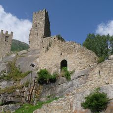
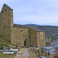
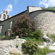
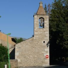
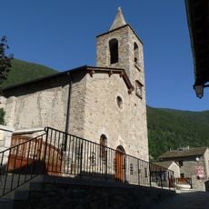
Carlit, Mountain peak in Angoustrine-Villeneuve-des-Escaldes, France.

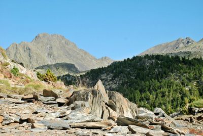
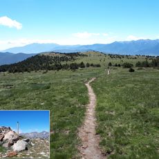
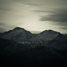
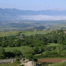
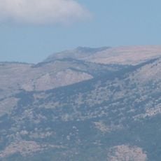
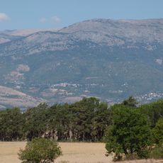
Carlit is a granite summit in the eastern Pyrenees, located in the commune of Angoustrine-Villeneuve-des-Escaldes in the Pyrénées-Orientales department of France. It rises above the nearby ridges and sits within a landscape of bare rock and scattered mountain lakes.

Carlit was visited by scientists and explorers in the 19th century during a period of systematic mapping of the Pyrenees. Its summit served as a reference point for geographic surveys carried out across the French mountains at that time.

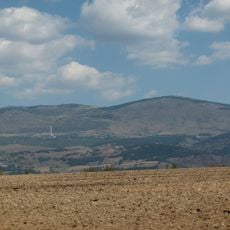
Carlit is known as the highest point of the eastern Pyrenees, and that status makes it a goal for walkers who want to stand on the roof of this part of the range. On the way up, the open granite terrain gives wide views over the surrounding valleys and plateaus.

The ascent is long and the terrain is entirely granite, so sturdy boots and trekking poles are strongly recommended. Weather at this elevation can shift without warning, so carrying warm layers is a good idea even in summer.

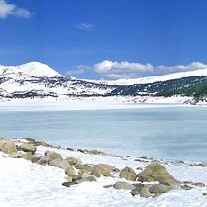
The route to the top passes through one of the densest concentrations of alpine lakes in the Pyrenees, with several lakes following one another in quick succession. Some of these lakes feed rivers that eventually reach the Mediterranean, making Carlit a key point along a major watershed.

The community of curious travelers

AroundUs brings together thousands of curated places, local tips, and hidden gems, enriched daily by 60,000 contributors worldwide.

Start exploring
Elevation above the sea
2,921 m
Made from material
granite
Part of
liste des 100 sommets de la FEEC
GPS coordinates
42.56984,1.93209
Latest update
March 3, 2026 08:19
Reviews
Share your experience

No review yet

Discussions
Start a discussion...

No discussion yet

« Carlit - Mountain peak in Angoustrine-Villeneuve-des-Escaldes, France » is provided by Around Us (aroundus.com). Images and texts are derived from Wikimedia project under a Creative Commons license. You are allowed to copy, distribute, and modify copies of this page, under the conditions set by the license, as long as this note is clearly visible.

Discover hidden gems everywhere you go!

From secret cafés to breathtaking viewpoints, skip the crowded tourist spots and find places that match your style. Our app makes it easy with voice search, smart filtering, route optimization, and insider tips from travelers worldwide. Download now for the complete mobile experience.

Around Us App Screenshot

A unique approach to discovering new places

Le Figaro

All the places worth exploring

France Info

A tailor-made excursion in just a few clicks

20 Minutes

Around Us
Travel Guide & Maps
Download

Send to your phone

QR Code
1

Open the camera app on your mobile.

2

Point at the QR code with your camera. A notification will appear.

3

Tap the notification to open the link.