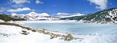
Lac des Bouillouses, High-altitude reservoir in Pyrénées-Orientales, France
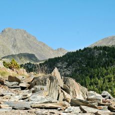
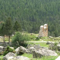
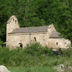
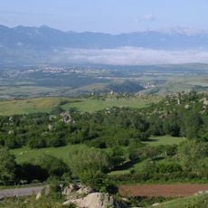
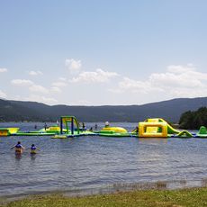
Lac des Bouillouses is an artificial lake in the Pyrenees at 2,016 meters elevation, spreading across about 149 hectares of mountain terrain. Its clear waters are encircled by steep rock faces and serve as a crucial water storage facility for the region.
The lake was created between 1903 and 1910 through a masonry dam construction that demanded considerable effort and resources. This early engineering achievement enabled hydroelectric power generation in the mountains and supported regional economic growth.
The lake powers the Yellow Train, a regional railway connecting mountain communities and representing local transportation heritage. This connection shows how water resources shape the region's traditional infrastructure.
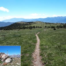
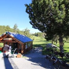
Marked hiking trails circle the lake, including the long-distance GR10 path, offering several access points for visitors. Summer months from June to September are ideal for exploring, as the trails are generally snow-free and weather is more stable.
The water is also used for snow production at nearby ski resorts, showing how an older infrastructure serves multiple modern purposes. This dual use allows the mountain to remain active throughout the season.
Location: Angoustrine-Villeneuve-des-Escaldes
Location: Les Angles
Elevation above the sea: 2,016 m
Address: Lac des Bouillouses, France
GPS coordinates: 42.57023,1.99943
Latest update: December 6, 2025 16:03
Occitanie hosts a wide variety of lakes spread between the Pyrenees and the Massif Central. Natural lakes mainly occupy high-altitude zones in the Pyrenees, where glacial erosion has carved out cirques and basins now filled with water. Lake Oô, located at 4,950 feet (1,507 meters) altitude, receives...
Odeillo solar furnace
8.8 km
Carlit
5.5 km
Grand Hôtel de Font-Romeu
7.9 km
Parc animalier des Angles
5.7 km
Ermitage Notre-Dame de Font-Romeu
7.5 km
Bosc de la Mata
8.5 km
Edifici de les cases solars Trombe-Michel
9 km
Parcours Aventure
7.9 km
Église Saint-Martin d'Odeillo
8.6 km
Pic d'Aude
3.4 km
Église Sainte-Marie de Vallsera
6.6 km
Chapelle Saint-Martin d'Envalls
7.1 km
Peric
5 km
Église Sainte-Marie
9.8 km
Église Sainte-Colombe de Vià
9.4 km
Église Saint-Michel des Angles
6.2 km
Arboretum de Font-Romeu
7.3 km
Pic dels Moros
6.4 km
Église Saint-Vincent de Vilalta
8.1 km
Église Saint-Sauveur des Angles
6.6 km
Église Saint-Saturnin de Targasonne
8 km
Église Saint-Pierre de Matemale
9.9 km
Chaos de Targassonne
8.7 km
Castell dels Angles
6.2 km
Golf communal de Font-Romeu
7.3 km
Église Saint-Étienne d'Égat
8 km
Water Game 66
8.6 km
Planet'Air
8.1 kmVisited this place? Tap the stars to rate it and share your experience / photos with the community! Try now! You can cancel it anytime.
Discover hidden gems everywhere you go!
From secret cafés to breathtaking viewpoints, skip the crowded tourist spots and find places that match your style. Our app makes it easy with voice search, smart filtering, route optimization, and insider tips from travelers worldwide. Download now for the complete mobile experience.
A unique approach to discovering new places❞
— Le Figaro
All the places worth exploring❞
— France Info
A tailor-made excursion in just a few clicks❞
— 20 Minutes