Enable Location

We need your location to show you interesting places around you

Discover nearby places

Find interesting locations and hidden gems around you

Precise directions

Get accurate directions and distances to places

Your location is never shared with other users. It's only used when you tap the location button.

Pic de Mullet

Log in to your account

Start exploring — it's free

Trusted by 62,352 travelers worldwide

Continue with Google
Continue with Apple
or

We will send you a code to connect

By continuing, you accept our Terms and Conditions and our Privacy Policy

Check your inbox

We've sent a pincode in your inbox. Please enter the code below.

Pic de Mullet

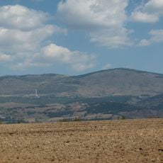
Pic de Mullet, Mountain summit in French Cerdagne, France

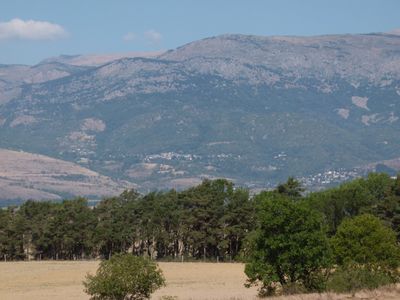
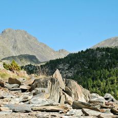
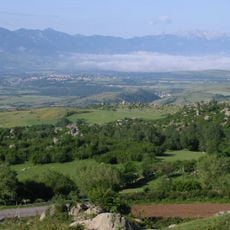
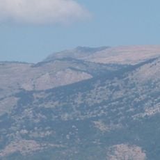
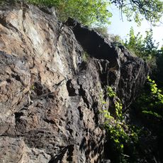
Pic de Mullet is a mountain in the French Pyrenees that rises to 2284 meters elevation. Rocky outcrops and alpine vegetation cover its slopes, creating a rugged terrain typical of this mountain range.

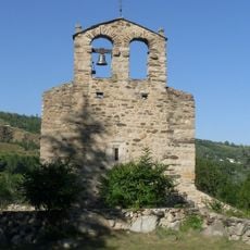
Mountain paths around this peak served as traditional routes for shepherds moving livestock between Dorres and Enveitg over many centuries. These trails were essential for seasonal grazing practices in the Cerdagne region.

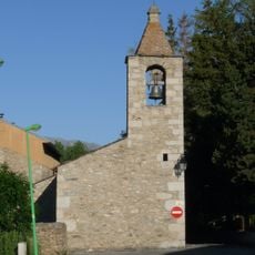
Local mountain guides share knowledge of the peak's natural features through organized walks, teaching visitors about regional flora and geology.

Hiking trails are accessible from spring through fall, though proper mountain gear and water supplies are necessary for the ascent. Weather conditions can shift rapidly, so it is wise to check current conditions before starting your hike.

From the summit on clear days, hikers can see into three countries at once: France, Andorra, and Spain all lie visible from this single vantage point. This perspective reveals why the location holds geographical importance in the heart of the Pyrenees.

The community of curious travelers

AroundUs brings together thousands of curated places, local tips, and hidden gems, enriched daily by 60,000 contributors worldwide.

Start exploring
Location
Location
Location
Elevation above the sea
2,284 m
GPS coordinates
42.50853,1.91184
Latest update
December 15, 2025 13:30
« Pic de Mullet - Mountain summit in French Cerdagne, France » is provided by Around Us (aroundus.com). Images and texts are derived from Wikimedia project under a Creative Commons license. You are allowed to copy, distribute, and modify copies of this page, under the conditions set by the license, as long as this note is clearly visible.

Discover hidden gems everywhere you go!

From secret cafés to breathtaking viewpoints, skip the crowded tourist spots and find places that match your style. Our app makes it easy with voice search, smart filtering, route optimization, and insider tips from travelers worldwide. Download now for the complete mobile experience.

Around Us App Screenshot

A unique approach to discovering new places

Le Figaro

All the places worth exploring

France Info

A tailor-made excursion in just a few clicks

20 Minutes

Around Us
Travel Guide & Maps
Download

Send to your phone

QR Code
1

Open the camera app on your mobile.

2

Point at the QR code with your camera. A notification will appear.

3

Tap the notification to open the link.