Ligne de Cerdagne, Mountain railway in Pyrénées-Orientales, France
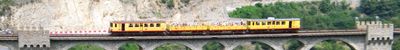
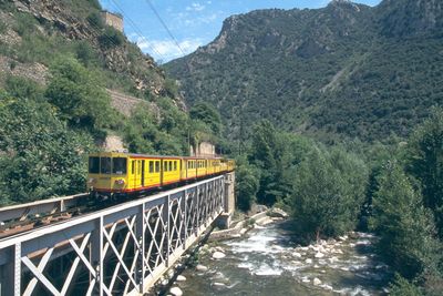
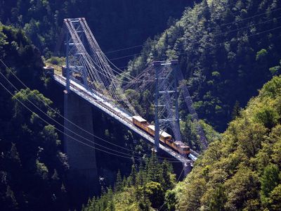
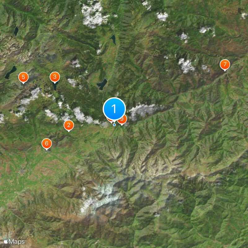
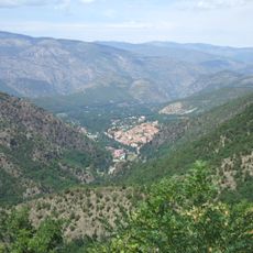
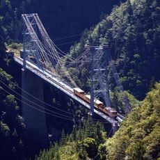
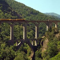
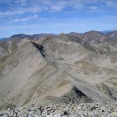
Ligne de Cerdagne is a 63-kilometer mountain railway running through the Pyrenees, connecting Villefranche-Vernet-les-Bains to Latour-de-Carol at an average speed of 30 kilometers per hour. The single-track line features numerous bridges and tunnels that wind through steep terrain and wooded valleys, allowing passengers to see the landscape in fine detail.
Built in 1910, the railway created vital connections for remote communities in the French Catalan Pyrenees during the early twentieth century. It quickly became a hub for trade and mobility between isolated settlements in the mountains.
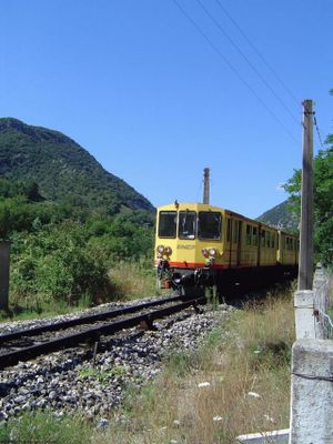
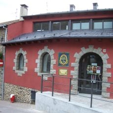
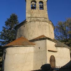
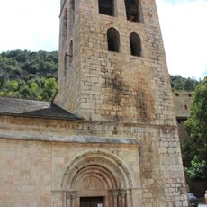
The yellow-painted trains connect traditional villages and reflect the strong bond between French and Catalan communities in these mountains. Locals and visitors alike experience the line as a cultural bridge that has shaped daily life for generations.
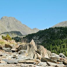
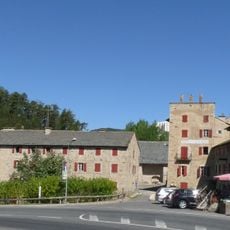
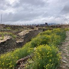
The train moves slowly, allowing you to step off and explore small villages or walk in nature during your journey. Plan for a full day and bring layers and a rain jacket, as mountain weather can change quickly.
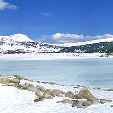
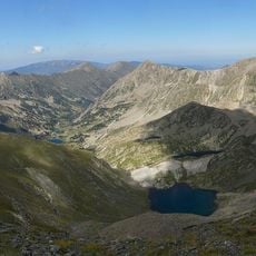
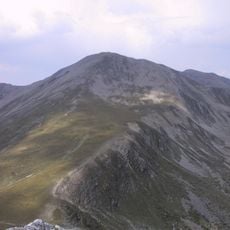
Bolquère station sits at 1,593 meters elevation and holds the title of France's highest railway station with regular passenger service. At this point, visitors experience the thin mountain air and arrive at one of the line's most celebrated stops.
Location: Pyrénées-Orientales
Official opening: 1910
Operator: SNCF Réseau
Address: 66210 Saint-Pierre-dels-Forcats, France
Opening Hours: Monday-Sunday 10:00-18:00
Website: http://letrainjaune.fr
GPS coordinates: 42.50389,2.12778
Latest update: December 6, 2025 16:01
The Eastern Pyrenees region of France features mountains, coastal areas, and historical sites. The territory extends from Pyrenean peaks to Mediterranean beaches, containing medieval fortresses, historic railways, deep gorges, thermal springs, and nature reserves. Notable elements include the 2,784-meter Canigou peak, the Yellow Train railway, coastal fortifications, and protected marine areas. The region presents archaeological sites, mineral formations, mountain lakes, and religious buildings from various periods.
Odeillo solar furnace
8.2 km
Lac des Bouillouses
12.9 km
Carlit
17.7 km
Esteve Pharmacy
12.7 km
Fort Liberia
21.7 km
Mont-Louis Solar Furnace
680 m
Pont Gisclard
1.3 km
Carança
7.9 km
Catalan Pyrenees Regional Natural Park
734 m
Grand Hôtel de Font-Romeu
7.3 km
Banys de Llo
8 km
Parc animalier des Angles
7.9 km
Les Bains de Saint-Thomas
3.3 km
Pont Séjourné
6.4 km
Bastiments
12.2 km
Grottes des Canalettes
21.7 km
Ermitage Notre-Dame de Font-Romeu
6.8 km
Mont-Louis Citadel
1 km
Santa Maria de Puigcerdà
18.4 km
Évol Church of Saint Andrew
12.7 km
La Ferme du Rialet
2.1 km
Ulldeter
13.8 km
Chapelle Notre-Dame-de-la-Merci de Planès
1.7 km
City walls of Mont-Louis
636 m
Château d'Évol
12.9 km
Pic de l'Infern
11.4 km
Castell de Llívia
12.3 km
Église Saint-Jacques de Villefranche-de-Conflent
21.6 kmReviews
Visited this place? Tap the stars to rate it and share your experience / photos with the community! Try now! You can cancel it anytime.
Discover hidden gems everywhere you go!
From secret cafés to breathtaking viewpoints, skip the crowded tourist spots and find places that match your style. Our app makes it easy with voice search, smart filtering, route optimization, and insider tips from travelers worldwide. Download now for the complete mobile experience.
A unique approach to discovering new places❞
— Le Figaro
All the places worth exploring❞
— France Info
A tailor-made excursion in just a few clicks❞
— 20 Minutes