Enable Location

We need your location to show you interesting places around you

Discover nearby places

Find interesting locations and hidden gems around you

Precise directions

Get accurate directions and distances to places

Your location is never shared with other users. It's only used when you tap the location button.

City walls of Mont-Louis

Log in to your account

Start exploring — it's free

Trusted by 62,351 travelers worldwide

Continue with Google
Continue with Apple
or

We will send you a code to connect

By continuing, you accept our Terms and Conditions and our Privacy Policy

Check your inbox

We've sent a pincode in your inbox. Please enter the code below.

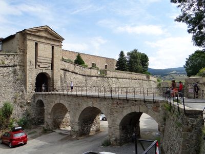
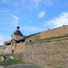
City walls of Mont-Louis, Military rampart in Mont-Louis, France

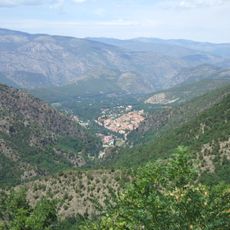
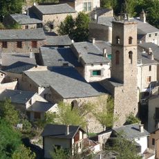
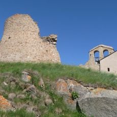
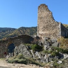
The City walls of Mont-Louis are a 17th-century fortified structure built at 1,600 meters elevation in the French Pyrenees, featuring watchtowers and reinforced gateways at regular intervals. The layout follows geometric defensive principles with angular bastions and continuous ramparts designed to control passage through mountain terrain.

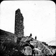
Military engineer Sebastien Le Prestre de Vauban designed and supervised construction from 1679 to 1681 to protect the French frontier in this strategic mountain location. The project was part of a larger border defense strategy implemented across the Pyrenees region during that period.

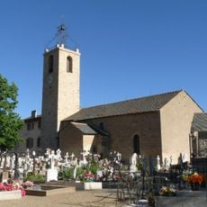
The ramparts shaped how the town developed and how life was organized within protective walls centuries ago. Walking along them, you notice how the settlement adapted its layout to fit inside these fortifications.

You can walk freely around the ramparts and explore the perimeter on foot at your own pace. The tourism office in town provides maps and basic information to help you understand what you are seeing.

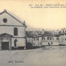
A national commando training center has operated inside the walls since 1964, giving the historic fortification an active military function. This ongoing use means the ramparts remain a living part of France's defense infrastructure rather than merely a museum piece.

The community of curious travelers

AroundUs brings together thousands of curated places, local tips, and hidden gems, enriched daily by 60,000 contributors worldwide.

Start exploring
Location
Architects
Sébastien Le Prestre de Vauban
Part of
Fortifications of Vauban
GPS coordinates
42.50783,2.12217
Latest update
December 9, 2025 20:20
« City walls of Mont-Louis - Military rampart in Mont-Louis, France » is provided by Around Us (aroundus.com). Images and texts are derived from Wikimedia project under a Creative Commons license. You are allowed to copy, distribute, and modify copies of this page, under the conditions set by the license, as long as this note is clearly visible.

Discover hidden gems everywhere you go!

From secret cafés to breathtaking viewpoints, skip the crowded tourist spots and find places that match your style. Our app makes it easy with voice search, smart filtering, route optimization, and insider tips from travelers worldwide. Download now for the complete mobile experience.

Around Us App Screenshot

A unique approach to discovering new places

Le Figaro

All the places worth exploring

France Info

A tailor-made excursion in just a few clicks

20 Minutes

Around Us
Travel Guide & Maps
Download

Send to your phone

QR Code
1

Open the camera app on your mobile.

2

Point at the QR code with your camera. A notification will appear.

3

Tap the notification to open the link.