Enable Location

We need your location to show you interesting places around you

Discover nearby places

Find interesting locations and hidden gems around you

Precise directions

Get accurate directions and distances to places

Your location is never shared with other users. It's only used when you tap the location button.

Pic de Bugarach

Log in to your account

Start exploring — it's free

Trusted by 62,934 travelers worldwide

Continue with Google
Continue with Apple
or

We will send you a code to connect

By continuing, you accept our Terms and Conditions and our Privacy Policy

Check your inbox

We've sent a pincode in your inbox. Please enter the code below.

Pic de Bugarach
Discussion Reviews 1 Photos 1 Collections
11.5k Popularity

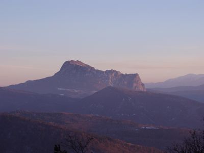
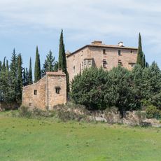
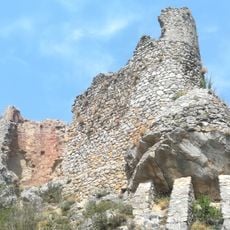
Pic de Bugarach, Mountain peak in Corbières Massif, France

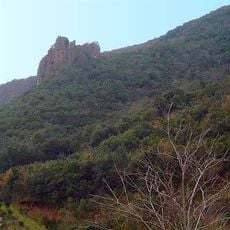
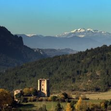
Pic de Bugarach is the highest peak of the Corbières range in southern France, rising to 1,230 meters. The mountain dominates the surrounding landscape with its distinctive profile and rocky slopes.

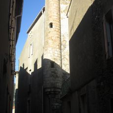
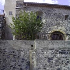
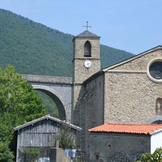
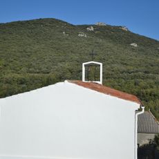
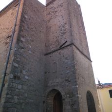
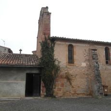
The area's earliest documented references date to 889 CE when it was called Villa Burgaragio, linked to the Bogomil movement in medieval France. The region's cultural layers remain shaped by centuries of settlement around this landmark.

Local stories speak of a fairy named Nore and two mythical creatures, Bug and Arach, whose names are woven into the mountain's identity. These tales reflect how people have long tried to explain the dramatic landscape around them.

Two main routes lead to the summit: one starting from Bugarach village covering about 12 kilometers, and another from Col du Linas spanning about 7 kilometers. Hikers should wear sturdy footwear, bring water, and be prepared for changing weather conditions at higher elevations.

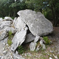
The peak displays a rare inverted geological structure where upper rock layers are older than lower ones, a result of powerful tectonic plate movements. This reversal of normal layering patterns reveals the tremendous forces that have shaped the mountain over time.

The community of curious travelers

AroundUs brings together thousands of curated places, local tips, and hidden gems, enriched daily by 60,000 contributors worldwide.

Start exploring
Location
Elevation above the sea
1,230 m
GPS coordinates
42.86377,2.37910
Latest update
December 6, 2025 16:03
Notable rock formations in France

France displays a range of geological formations shaped by millions of years of natural processes. White chalk cliffs mark the northern coast, including the cliffs of Étretat and the rock of Mont Saint-Michel in Normandy. In southern regions, deep limestone gorges cut through the landscape, while...

Reviews
Share your experience

No review yet

Discussions
Start a discussion...

No discussion yet

« Pic de Bugarach - Mountain peak in Corbières Massif, France » is provided by Around Us (aroundus.com). Images and texts are derived from Wikimedia project under a Creative Commons license. You are allowed to copy, distribute, and modify copies of this page, under the conditions set by the license, as long as this note is clearly visible.

Discover hidden gems everywhere you go!

From secret cafés to breathtaking viewpoints, skip the crowded tourist spots and find places that match your style. Our app makes it easy with voice search, smart filtering, route optimization, and insider tips from travelers worldwide. Download now for the complete mobile experience.

Around Us App Screenshot

A unique approach to discovering new places

Le Figaro

All the places worth exploring

France Info

A tailor-made excursion in just a few clicks

20 Minutes

Around Us
Travel Guide & Maps
Download

Send to your phone

QR Code
1

Open the camera app on your mobile.

2

Point at the QR code with your camera. A notification will appear.

3

Tap the notification to open the link.