Côte Vermeille, Mediterranean coastline in Pyrénées-Orientales, France
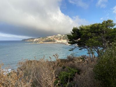
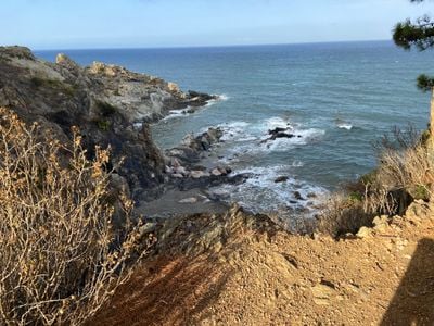
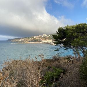
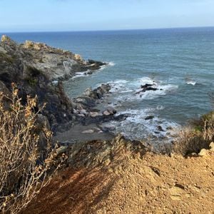
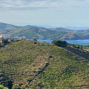
The Côte Vermeille is the stretch of the Albères coast where the Pyrenees meet the Mediterranean, running from the Racou beach south of Argelès-sur-Mer to the Spanish border at Port-Bou, through Collioure, Port-Vendres, Banyuls-sur-Mer and Cerbère. It has rocky creeks, fishing ports and hillside vineyards rather than sandy resorts. In the photograph, dark grey-brown rock ledges in the foreground face a turquoise-to-blue bay, with a low sandy beach and pale and reddish multi-storey buildings backed by green hills across the water.
This coastal region grew around ancient fishing harbors, with Collioure and Port-Vendres serving as maritime trading centers from Roman times onward. These two ports shaped the economic life of the coast over many centuries.
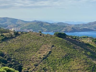
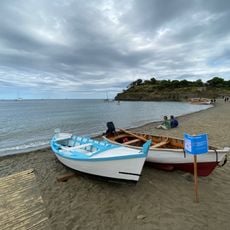
The name comes from the Catalan Costa Vermella, "vermilion coast", also traditionally called la Marenda. Until the early 1950s fishing was done from Catalan barques, sturdy wooden boats; today the ports land blue fish such as sardines, anchovies and mackerel with seiners and small netters. Vineyards on the slopes above Banyuls-sur-Mer produce Banyuls wine.
The coastal road D914 connects all the towns and gives access to beaches, hiking trails, and water activities throughout the year. Visitors can move between towns by car, bicycle, or on foot to explore the different coves and coastal sections.
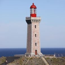
The coast's name comes from Catalan Costa Vermella, "vermilion coast", though it is also traditionally called la Marenda. Since 1 February 2002 the "Mediterranean shore of the Pyrenees" has been on UNESCO's tentative list for World Heritage status. Two lighthouses mark the route, at Cap Béar and Cap Cerbère.
The community of curious travelers
AroundUs brings together thousands of curated places, local tips, and hidden gems, enriched daily by 94,070 contributors worldwide.