Enable Location

We need your location to show you interesting places around you

Discover nearby places

Find interesting locations and hidden gems around you

Precise directions

Get accurate directions and distances to places

Your location is never shared with other users. It's only used when you tap the location button.

Argelès-sur-Mer

Log in to your account

Start exploring — it's free

Trusted by 62,960 travelers worldwide

Continue with Google
Continue with Apple
or

We will send you a code to connect

By continuing, you accept our Terms and Conditions and our Privacy Policy

Check your inbox

We've sent a pincode in your inbox. Please enter the code below.

Discussion Reviews 6 Photos 1 Collections
75.9k Popularity

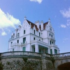
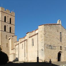
Argelès-sur-Mer, Administrative district in southern Occitania, France

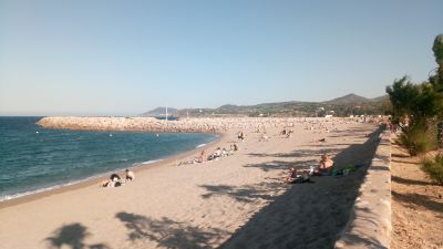
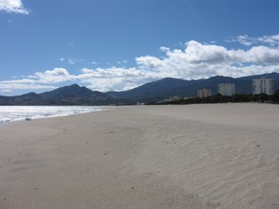
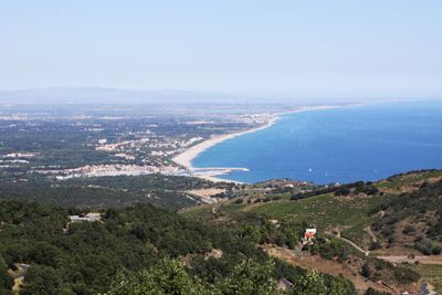
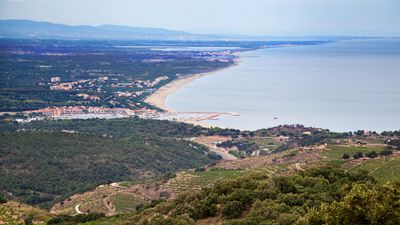
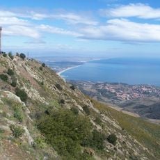
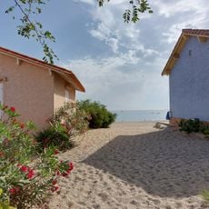
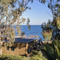
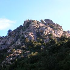
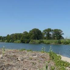
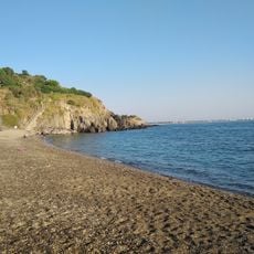
Argelès-sur-Mer is a commune in the Pyrénées-Orientales department on the Mediterranean coast near the Spanish border. It sits between the sea and the first slopes of the Albères range, with several kilometers of sandy shore and forested areas further inland.

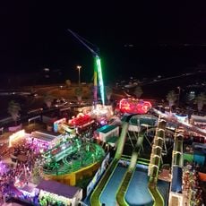
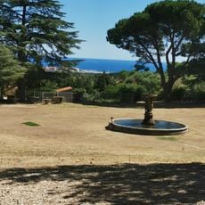
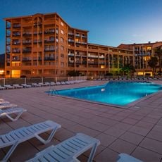
During World War II, this area became an internment site where Spanish Republican refugees were held after crossing the border. After the war ended, the commune grew into a seaside resort with hotels and holiday camps along the waterfront.

The name comes from Catalan roots, and locals often switch between French and regional language in daily conversation. Rugby matches draw crowds to neighborhood cafés, where people gather on weekend afternoons to follow the home team.

The commune lies roughly ten kilometers southeast of Collioure and can be reached via coastal roads. Summer months are busy, so visiting in spring or autumn means quieter beaches and fewer crowds.

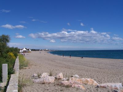
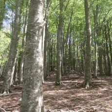
A pine forest along the beach was planted in the 1860s and now covers several hectares near the shore. These trees protect the dunes from wind and offer shade for walkers following the coastal paths.

The community of curious travelers

AroundUs brings together thousands of curated places, local tips, and hidden gems, enriched daily by 60,000 contributors worldwide.

Start exploring
Location
Elevation above the sea
159 m
Shares border with
Espolla, Banyuls-sur-Mer, Sorède, Collioure, Saint-André, Palau-del-Vidre, Elne
Address
66700 Argelès-sur-Mer, France
Phone
GPS coordinates
42.54611,3.02389
Latest update
December 13, 2025 17:06
What to see and do in Argelès-sur-Mer and its surroundings?

Argelès-sur-Mer sits between the Mediterranean and the Pyrenees, combining beach life with medieval history. The town preserves traces of its past through the Tour de la Massane, a 13th-century watchtower, and the Mémorial des Camps, which commemorates the Spanish Civil War refugee camps. The Église...

Reviews
Share your experience

No review yet

Discussions
Start a discussion...

No discussion yet

« Argelès-sur-Mer - Administrative district in southern Occitania, France » is provided by Around Us (aroundus.com). Images and texts are derived from Wikimedia project under a Creative Commons license. You are allowed to copy, distribute, and modify copies of this page, under the conditions set by the license, as long as this note is clearly visible.

Discover hidden gems everywhere you go!

From secret cafés to breathtaking viewpoints, skip the crowded tourist spots and find places that match your style. Our app makes it easy with voice search, smart filtering, route optimization, and insider tips from travelers worldwide. Download now for the complete mobile experience.

Around Us App Screenshot

A unique approach to discovering new places

Le Figaro

All the places worth exploring

France Info

A tailor-made excursion in just a few clicks

20 Minutes

Around Us
Travel Guide & Maps
Download

Send to your phone

QR Code
1

Open the camera app on your mobile.

2

Point at the QR code with your camera. A notification will appear.

3

Tap the notification to open the link.