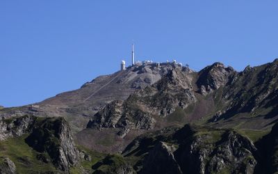
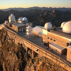
Pic du Midi de Bigorre, Mountain peak and observatory in Hautes-Pyrénées, France.
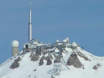
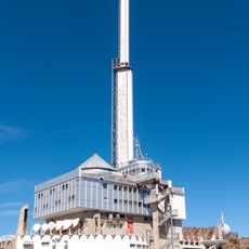
Pic du Midi de Bigorre is a 2877 meter (9439 feet) mountain in the French Pyrenees, known for its crystalline schist observatory complex at the top. The buildings up there house several telescopes and research facilities dedicated to studying celestial bodies.
The Ramond Society built an observatory up here in 1878, which soon became an important site for celestial observations. In 1909, researchers used a movable mirror telescope to disprove the then-popular theory about artificial canals on Mars.
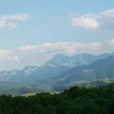
The peak takes its name from the midday position of the sun when viewed from the town of Bagnères below. Visitors experience a working research station where astronomers study the sun by day and observe the star-filled sky above the Pyrenees at night.
A cable car takes visitors from La Mongie to the top in about fifteen minutes. Once up there, you should bring warm clothing, as the temperature can remain cool even in summer and the wind often blows strongly.
The Bernard Lyot Telescope remains the largest telescope in France built specifically for studying the sun. Around the summit, a protected area covering about 3000 square kilometers (1158 square miles) has existed since 2013, where artificial lighting is heavily restricted to preserve the night sky for scientific measurements.
The community of curious travelers
AroundUs brings together thousands of curated places, local tips, and hidden gems, enriched daily by 60,000 contributors worldwide.