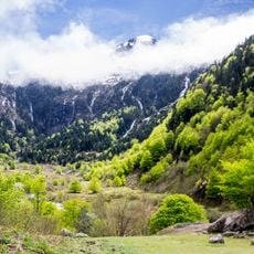
Ariège Pyrenees Regional Natural Park, Regional natural park in Ariège department, France
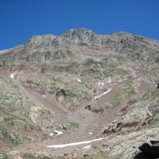
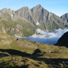
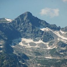
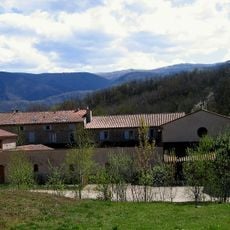
Ariège Pyrenees Regional Natural Park covers 2,468 km² of the Ariège department, from the Pyrenean foothills to the Spanish and Andorran borders. Its highest point is the Pique d'Estats at 3,143 m, alongside the Montcalm (3,077 m) and the Pic de Médécourbe (2,914 m). The land is 51% forest, mostly beech, with 13% high-altitude pasture and 8% bare rock.
The park was created by decree on 28 May 2009, published in the Journal officiel on 30 May 2009, as the 46th regional natural park in France and the fourth in the Occitanie region. It covers only communes in Ariège, from the Pyrenean foothills to the Spanish and Andorran borders, and has included 138 communes since 1 January 2019.
In the Couserans, farm producers, artisans and small dairies make a raw cow's-milk tomme in the tradition known as Bethmale. Pastoralism remains widespread, with 747 farms, 63 of them certified organic, and local breeds suited to summer grazing in the high pastures.
The park is accessible through multiple entry points with trails ranging from short walks to full-day hikes across varied terrain. Spring through autumn offers the best conditions for visiting, as mountain weather becomes more stable and paths are fully accessible.
The park's highest point is the Pique d'Estats at 3,143 metres. The Pic de Médécourbe, 2,914 metres, is shared by Spain, Andorra and France and marks the meeting of protected areas that formed the Parc pyrénéen des 3 Nations on 24 April 2018.
The community of curious travelers
AroundUs brings together thousands of curated places, local tips, and hidden gems, enriched daily by 94,362 contributors worldwide.