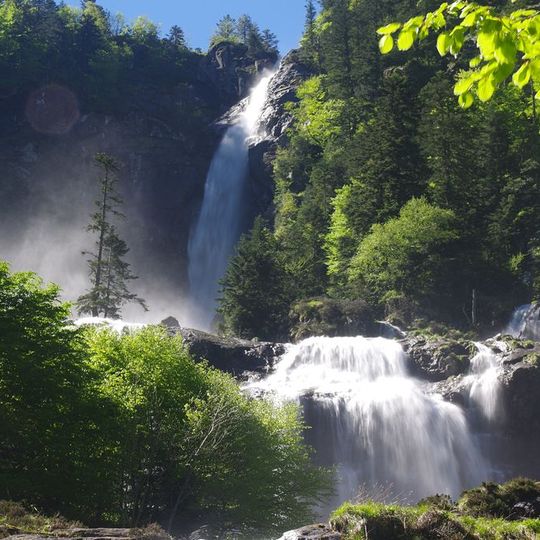
Cascade d'Ars, Natural waterfall in Couserans region, France
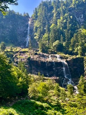
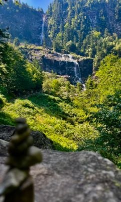
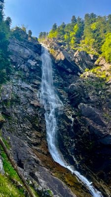
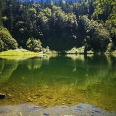
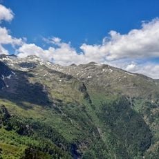
Cascade d'Ars is a 246-metre waterfall on the Arse river in the Couserans, Ariège, at 1,380 m altitude. Its upper part is a 100-metre drop from a notch in the cliff; below, the water spreads over a wide ledge and fans into many white streams that regroup into a final fall. Green slopes surround the dark rock face.
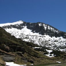
The waterfall and its valley have formed a classified natural site of scenic interest since 11 October 2018, covering 1,500 hectares. The 19th-century Pyrenean explorer Count Henry Russell ranked the cascade above all its rivals. The Arse, the stream feeding it, rises at the foot of the Pic de Turguilla (2,527 m) on the French-Spanish border and joins the Garbet at Aulus-les-Bains.
The name Ars, or Arse, comes from the word Hars, meaning mountain. The waterfall lies on the Arse, a river rising at the foot of the Pic de Turguilla (2,527 m) on the French-Spanish border and flowing into the Garbet at Aulus-les-Bains. The 19th-century Pyrenean explorer Count Henry Russell ranked it above all rival waterfalls.
From the D 8 road above Aulus-les-Bains, a forest track climbs from the first hairpin bend toward the col de Latrape. The route crosses the Artigou footbridge at 1,060 m, then follows the right bank of the Arse to the foot of the fall, about 90 minutes on foot. A loop back via the étang de Guzet (1,458 m) uses part of the GR10.
The water flow changes dramatically with the seasons, with spring snowmelt creating particularly powerful currents that project water far from the base. This natural rhythm makes each visit quite different depending on when you arrive.
The community of curious travelers
AroundUs brings together thousands of curated places, local tips, and hidden gems, enriched daily by 94,658 contributors worldwide.