Enable Location

We need your location to show you interesting places around you

Discover nearby places

Find interesting locations and hidden gems around you

Precise directions

Get accurate directions and distances to places

Your location is never shared with other users. It's only used when you tap the location button.

Pic de Séron

Log in to your account

Start exploring — it's free

Trusted by 61,908 travelers worldwide

Continue with Google
Continue with Apple
or

We will send you a code to connect

By continuing, you accept our Terms and Conditions and our Privacy Policy

Check your inbox

We've sent a pincode in your inbox. Please enter the code below.

Pic de Séron

Pic de Séron, Mountain summit in the French Pyrenees, France.

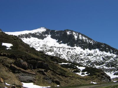
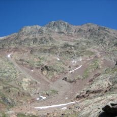
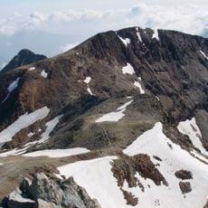
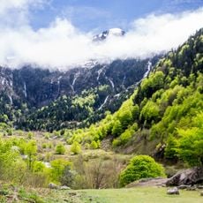
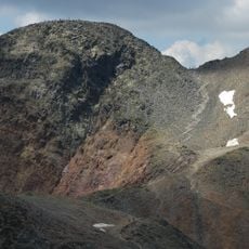
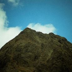
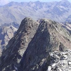
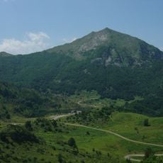
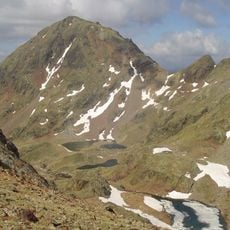
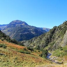
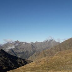
Pic de Séron is a mountain summit in the French Pyrenees located between the communes of Aulus-les-Bains and Ustou in the Haut-Salat region of Ariège. The peak rises to about 2.489 meters and dominates the landscape with its position between important mountain valleys.

This summit has served as a natural boundary marker between communities in the Ariège for centuries, shaping the territorial divisions of the region. Its role as a dividing point between territories established a lasting geographic and administrative legacy.

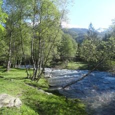
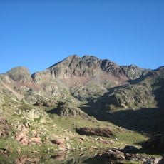
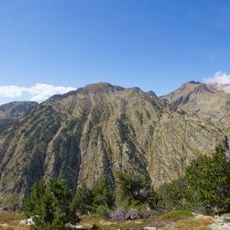
Local shepherds have grazed their flocks on the slopes for many generations, and you can still see the pastoral practices that shape the landscape today. This heritage of herding connects the peak to the communities below.

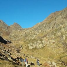
Hikers can reach the summit via the southern slope trail which leads through meadows before joining the ridge line near a mountain pass. Weather conditions change quickly at this elevation, so it helps to start early and carry layers for temperature shifts.

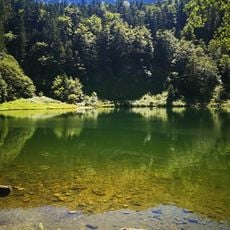
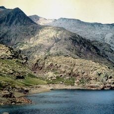
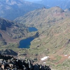
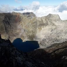
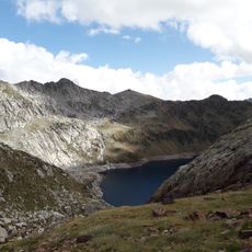
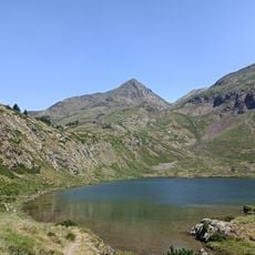
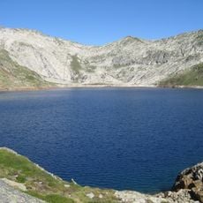
Three mountain lakes - Aubé, Réglisse, and Astoue - are positioned around the summit in an equidistant pattern that creates a distinctive triangular arrangement. This unusual geographical configuration makes the area memorable for visitors exploring the mountain terrain.

The community of curious travelers

AroundUs brings together thousands of curated places, local tips, and hidden gems, enriched daily by 60,000 contributors worldwide.

Start exploring
Elevation above the sea
2,489 m
GPS coordinates
42.74142,1.32678
Latest update
December 14, 2025 20:25
« Pic de Séron - Mountain summit in the French Pyrenees, France » is provided by Around Us (aroundus.com). Images and texts are derived from Wikimedia project under a Creative Commons license. You are allowed to copy, distribute, and modify copies of this page, under the conditions set by the license, as long as this note is clearly visible.

Discover hidden gems everywhere you go!

From secret cafés to breathtaking viewpoints, skip the crowded tourist spots and find places that match your style. Our app makes it easy with voice search, smart filtering, route optimization, and insider tips from travelers worldwide. Download now for the complete mobile experience.

Around Us App Screenshot

A unique approach to discovering new places

Le Figaro

All the places worth exploring

France Info

A tailor-made excursion in just a few clicks

20 Minutes

Around Us
Travel Guide & Maps
Download

Send to your phone

QR Code
1

Open the camera app on your mobile.

2

Point at the QR code with your camera. A notification will appear.

3

Tap the notification to open the link.