Enable Location

We need your location to show you interesting places around you

Discover nearby places

Find interesting locations and hidden gems around you

Precise directions

Get accurate directions and distances to places

Your location is never shared with other users. It's only used when you tap the location button.

Pic Verdaguer

Log in to your account

Start exploring — it's free

Trusted by 61,910 travelers worldwide

Continue with Google
Continue with Apple
or

We will send you a code to connect

By continuing, you accept our Terms and Conditions and our Privacy Policy

Check your inbox

We've sent a pincode in your inbox. Please enter the code below.

Pic Verdaguer

Pic Verdaguer, Mountain summit in Montcalm Massif, France and Spain.

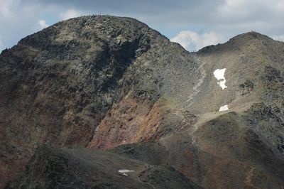
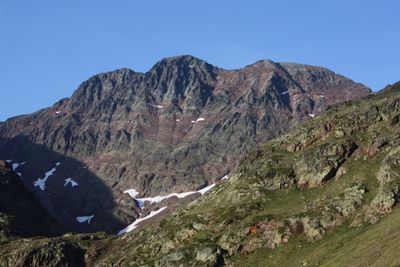
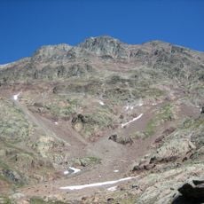
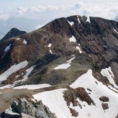
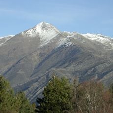
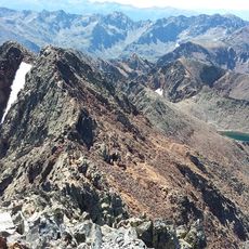
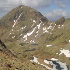
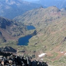
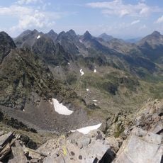
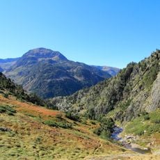
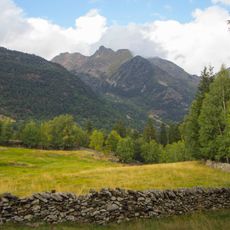
Pic Verdaguer is a mountain summit rising to 3,129 meters (10,265 feet) that straddles the French-Spanish border in the Pyrenees. The peak stands within the Montcalm Massif, forming one of several prominent ridges and slopes in the surrounding chain.

The mountain received its name following the first successful ascent in 1883, when a Catalan poet participated in the climb. This naming honors both the achievement and the cultural figures involved in that pioneering expedition.

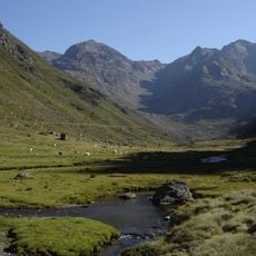
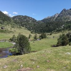
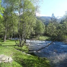
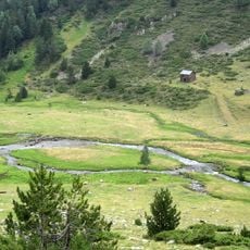
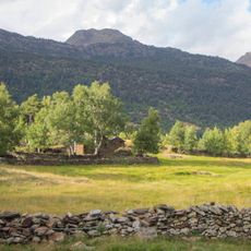
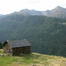
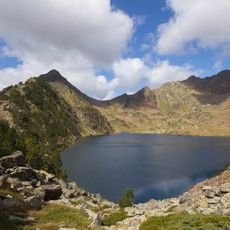
The summit sits within two protected natural areas on either side of the border, each playing a key role in conserving the mountain landscape. Visitors experience a place where the environment has been carefully maintained as a shared resource across nations.

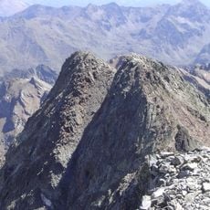
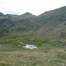
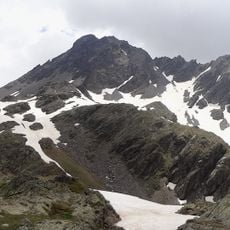
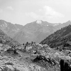
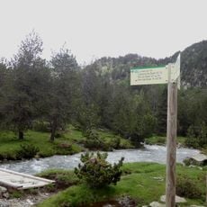
The summit can be reached via three main starting points: Port de Sullo, Refuge du Pinet, or Refuge de Vall Ferrera. Each route demands solid fitness and appropriate mountain gear, particularly in the higher sections where the terrain becomes steeper.

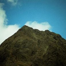
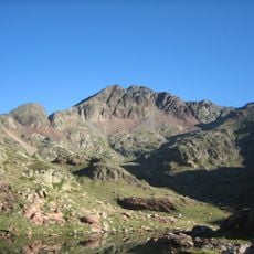
The peak is built from sandstone and lutite formations that create distinctive visual patterns on its slopes and rock faces. These geological layers produce visible striations and textures that shape how the mountain appears to climbers as they ascend.

The community of curious travelers

AroundUs brings together thousands of curated places, local tips, and hidden gems, enriched daily by 60,000 contributors worldwide.

Start exploring
Location
Location
Elevation above the sea
3,129 m
Made from material
sandstone, lutite
GPS coordinates
42.66805,1.39685
Latest update
December 14, 2025 11:42
« Pic Verdaguer - Mountain summit in Montcalm Massif, France and Spain » is provided by Around Us (aroundus.com). Images and texts are derived from Wikimedia project under a Creative Commons license. You are allowed to copy, distribute, and modify copies of this page, under the conditions set by the license, as long as this note is clearly visible.

Discover hidden gems everywhere you go!

From secret cafés to breathtaking viewpoints, skip the crowded tourist spots and find places that match your style. Our app makes it easy with voice search, smart filtering, route optimization, and insider tips from travelers worldwide. Download now for the complete mobile experience.

Around Us App Screenshot

A unique approach to discovering new places

Le Figaro

All the places worth exploring

France Info

A tailor-made excursion in just a few clicks

20 Minutes

Around Us
Travel Guide & Maps
Download

Send to your phone

QR Code
1

Open the camera app on your mobile.

2

Point at the QR code with your camera. A notification will appear.

3

Tap the notification to open the link.