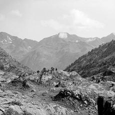
Pic de Canalbona, Mountain summit between Alins, Spain and Auzat, France.
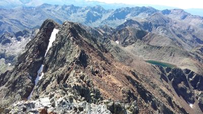
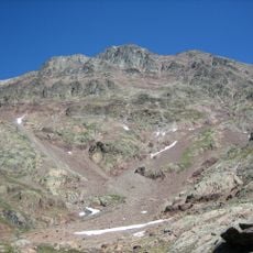
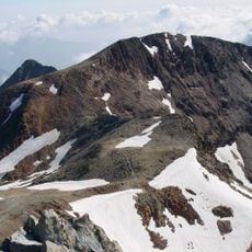
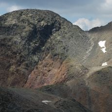
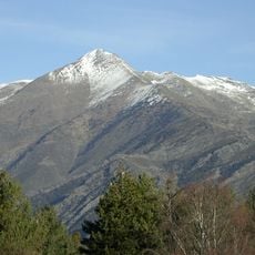
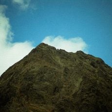
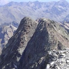
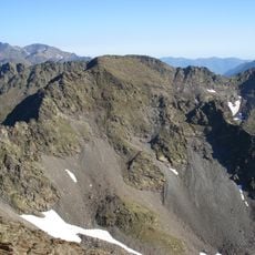
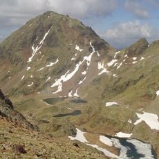
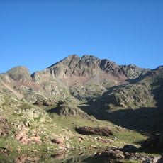
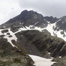
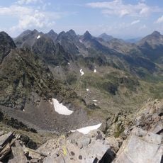
Pic de Canalbona is a mountain summit in the Montcalm Massif of the Pyrenees rising to approximately 2,965 meters. The peak displays layered rock formations combining sandstone and lutite, marking the border between Spanish and French alpine territory.
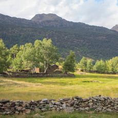
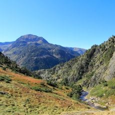
The peak became part of the border region between Spain and France following 17th-century agreements that established the Pyrenees as a political boundary. Since then, it has stood as a silent witness to centuries of coexistence between the two neighboring countries.
The mountain serves as a meeting point for hikers crossing between Spain and France, drawing visitors who come to experience the shared landscape of the two countries. People from both sides visit to connect with the dramatic terrain and the sense of standing on a border.
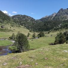
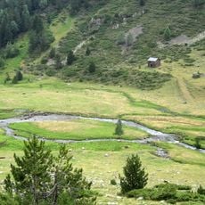
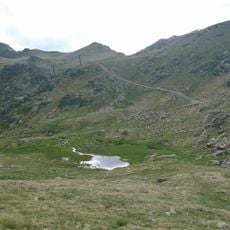
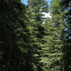
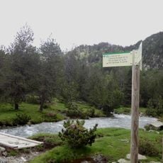
Several hiking trails ascend from Vallferrera in Alins toward the summit, with the climb taking several hours and requiring sturdy footwear with good grip. The best season for hiking is June through September, when snow has melted and paths are easier to navigate.
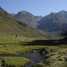
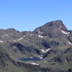
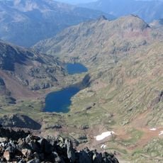
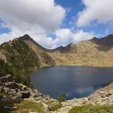
Just below the summit sits a small glacial lake called Estanyol Occidental de Canalbona that forms from melting snow and ice each spring. This water body transforms dramatically through the seasons, freezing solid in winter and vanishing by late summer as it returns to groundwater.
The community of curious travelers
AroundUs brings together thousands of curated places, local tips, and hidden gems, enriched daily by 60,000 contributors worldwide.