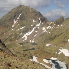
Pica d'Estats, Mountain summit at French-Spanish border in Montcalm Massif, Pyrenees.
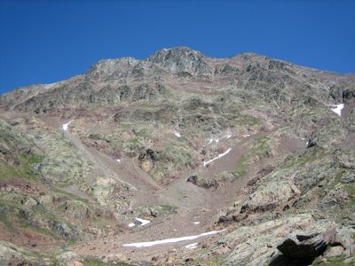
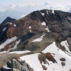
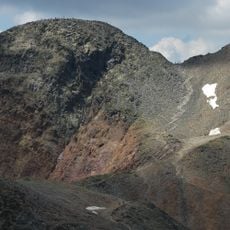
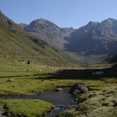
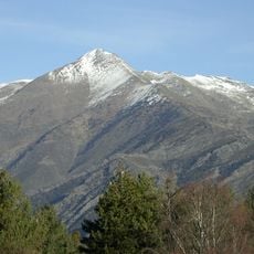
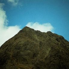
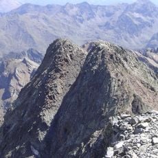
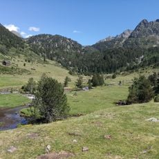
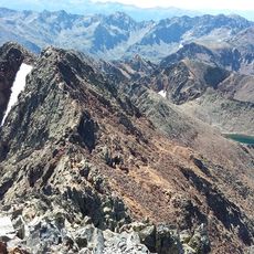
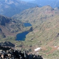
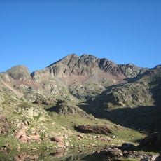
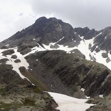
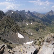
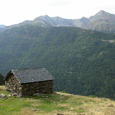
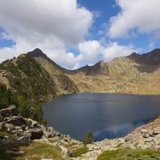
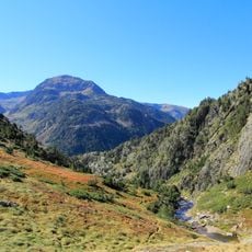
Pica d'Estats is a mountain summit on the French-Spanish border in the Montcalm Massif of the Pyrenees, reaching 3,143 meters in elevation. The peak consists of sandstone and lutite formations, with three distinct summits forming a ridge along the international boundary.
The mountain was first documented climb in 1864 by Henry Russell and Jean-Jacques Denjean, establishing it in mountaineering records. This early ascent marked the beginning of its recognition in the scientific and sporting climbing community.
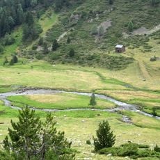
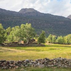
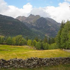
The peak holds particular importance for Catalans as the highest point in Catalonia, serving as a natural marker of regional identity. Locals and visitors recognize it as a geographical symbol that connects to the cultural pride of the surrounding communities.
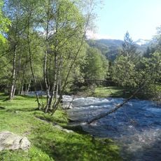
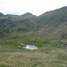
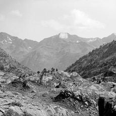
Climbing this peak requires good physical fitness and mountain experience, as the route is demanding. Weather conditions can change quickly at altitude, so preparation for exposure and variable conditions is essential.
The eastern peak serves as a geodesic vertex used for geographical measurements and mapping. This technical role makes it a point of scientific interest beyond its appeal to mountain climbers.
The community of curious travelers
AroundUs brings together thousands of curated places, local tips, and hidden gems, enriched daily by 60,000 contributors worldwide.