Mont Béas, Mountain summit in Ariège, France.
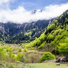
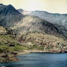
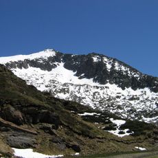
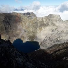
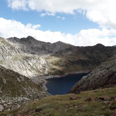
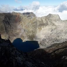
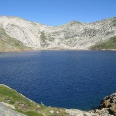
Mont Béas, also called La Pique, is a summit in the French Pyrenees of Ariège, reaching 1903 m. Its upper slopes show pale gray limestone with many lapiaz, while dense forest covers the flanks below. The mountain rises nearly 1200 m above Aulus-les-Bains to the southwest.
Cavers from Ariège began exploring the La Pique network in 2002; after more than 130 trips, the deepest shaft was reached in 2011 at 620 metres. The network lies beside the Georges chasm, 724 metres deep, and ranks third among Ariège's deepest caves measured from their entrance.
The summit is also called La Pique, the name given to the underground network beneath it, whose exploration began in 2002. The main access route starts at the spillway of the étang de Lers at 1,264 m and passes the col Dret at 1,454 m before following the crest south.
From the Lers pond spillway at 1264 m, a pastoral track heads north; around 1310 m a path forks left and crosses the Terrière stream at 1368 m, then climbs to the col Dret at 1454 m. The route then follows the crest south to the summit, with some airy passages. The descent can continue along the south crest past the pic de Lanote to the D8 road from the col d'Agnes, which leads back down to the Lers pond.
The cave network beneath the summit, called réseau de La Pique, was explored from 2002 and reached 620 m depth in 2011 after more than 130 expeditions by Ariège cavers. It lies next to the gouffre Georges, 724 m deep, and ranks third deepest in Ariège.
The community of curious travelers
AroundUs brings together thousands of curated places, local tips, and hidden gems, enriched daily by 94,549 contributors worldwide.