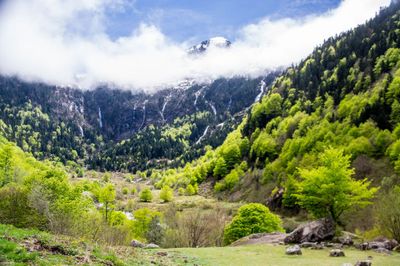
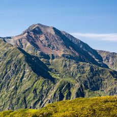
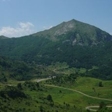
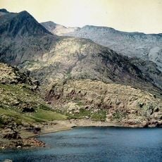
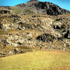
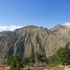
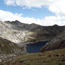
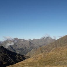
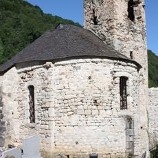
Cirque de Cagateille, Glacial cirque in Ustou, France.
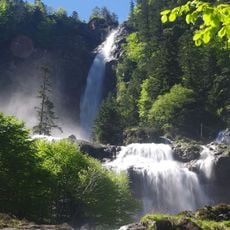
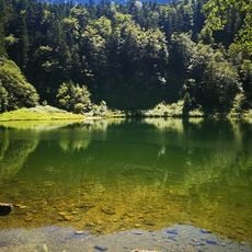
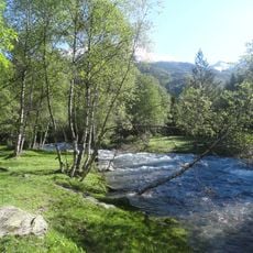
Cirque de Cagateille is a glacial cirque in the Pyrenees shaped by ancient ice movement. The landscape features steep rock walls surrounding a valley floor with streams that flow through the terrain.
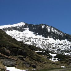
The cirque formed during glacial periods when ice masses carved deep into the mountain landscape. This geological feature ranks among the characteristic structures shaped by ancient climate patterns in the Pyrenees.
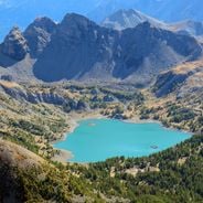
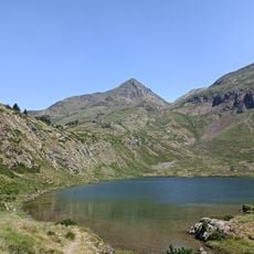
Scientists conduct regular studies of the flora and fauna within the cirque, monitoring the Iberian ibex population introduced in 2014.
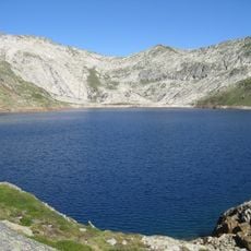
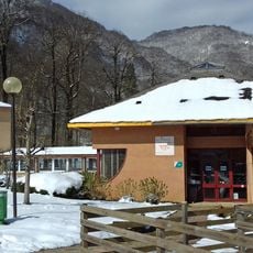
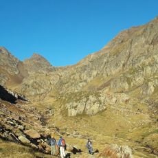
Access is on foot via marked trails with varying difficulty levels. Weather conditions vary by season, with some sections becoming wet and muddy during rainy periods or snowmelt.
The area has been repopulated with wild mountain goats that roam freely in their natural habitat today. These animals play a role in shaping the landscape and represent an important part of the local ecosystem.
Location: Ustou
GPS coordinates: 42.75551,1.28856
Latest update: December 6, 2025 17:44
France features a notable variety of protected natural areas, showcasing the country’s geological and ecological richness. From Lake Allos in the Alpes-de-Haute-Provence to the underground rivers of Padirac in Dordogne, from the mountain ranges of Savoy to the limestone formations of the Ardèche gorges, each region displays landscapes shaped over millennia of natural evolution. This collection gathers sites where nature is expressed freely: primary forests, karst systems, high-altitude lakes, moving dunes of the Atlantic coast, and rock formations carved by erosion. These areas provide diverse ecosystems, home to species adapted to different environments, from Alpine flora and fauna to dune communities and underground cave biodiversity. Each natural site in this selection serves as an open-air laboratory where geological processes, ecosystem dynamics, and living adaptation to local conditions can be observed. These sites invite discovery of authentic landscapes, removed from human impact, where geological time is evident in every rock formation and glacier valley.
Cascade d'Ars
6.1 km
Certascan Lake
5.2 km
Thermes d'Aulus-les-bains
5.4 km
Étang de Guzet
4.6 km
Cim del Mont-roig
10.4 km
Église de Salau
8.1 km
Mont Béas
8.3 km
Pla de Boavi
8.8 km
Pic de Certascan
4.9 km
Tuc del Caubo
9.4 km
Pic de Séron
3.5 km
Pico de Ventolau
10.8 km
Chapelle Saint-Pierre d'Ercé
10.9 km
Église de l'Assomption d'Ercé
10.5 km
Pic de la Lleia
5.1 km
Cap de Canalets
6.3 km
Pui del Cap de l'Estany
4.6 km
Pic de Marterat ou Pic de la Core de l’Aliot
5.5 km
Pic de Lasaugède ou de Bonrepos
4.5 km
Pic de Guerossos
5.9 km
Piquet de Guerossos
5.8 km
Presa de Certascan
5.8 km
Croix d'Ustou
6.7 km
Croix d'Ercé
10.6 km
Chapelle Saint-Joseph de Rieu
9.6 km
Chapelle castrale du Trein
6.3 km
Borda de Montalto
9.7 km
Etablissement Thermal
5.4 kmReviews
Visited this place? Tap the stars to rate it and share your experience / photos with the community! Try now! You can cancel it anytime.
Discover hidden gems everywhere you go!
From secret cafés to breathtaking viewpoints, skip the crowded tourist spots and find places that match your style. Our app makes it easy with voice search, smart filtering, route optimization, and insider tips from travelers worldwide. Download now for the complete mobile experience.
A unique approach to discovering new places❞
— Le Figaro
All the places worth exploring❞
— France Info
A tailor-made excursion in just a few clicks❞
— 20 Minutes