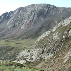
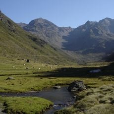
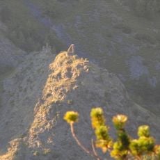
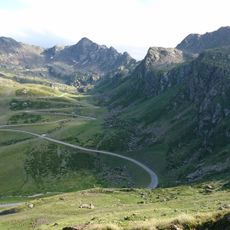
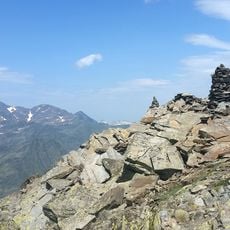
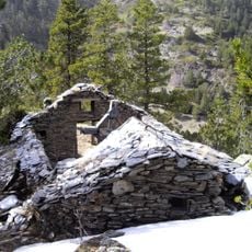
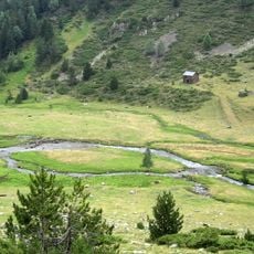
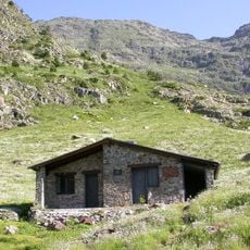
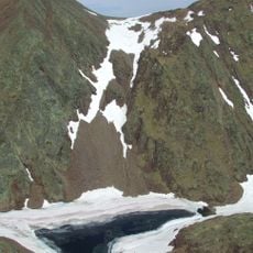
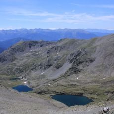
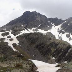
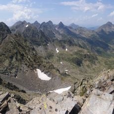
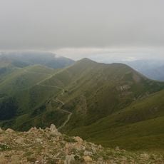
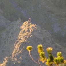
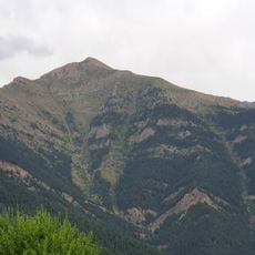
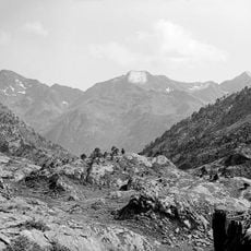
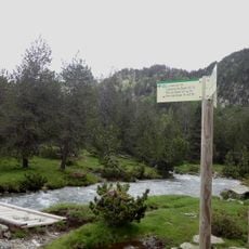
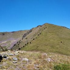
Coma Pedrosa, Mountain summit in La Massana, Andorra.
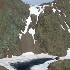
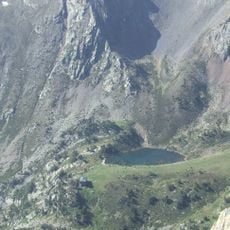
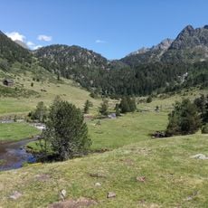
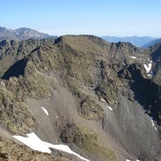
Coma Pedrosa is the highest mountain in Andorra, rising to 2,943 m (9,656 ft) in a pyramid shape at the northwestern border with France and Spain. Its slopes carry pine, birch and fir forests, and glacial lakes such as Estany Negre and the Baiau lakes lie on its flanks, not on the summit.
Throughout Andorran history, this mountain has served as a natural border marker and defensive barrier protecting the region. Its position shaped how settlements developed and communities organized their territory.
The name comes from Catalan and reflects the language spoken across Andorra, where Catalan is the official language of the region. Locals view this peak as an important symbol of their mountain territory.
The hike from Arinsal takes about five to seven hours and requires sturdy footwear and plenty of water. Weather can change quickly at this altitude, so bring weatherproof clothing and start early in the day.
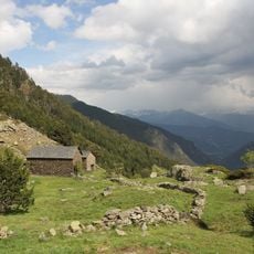
The mountain's lakes lie on its slopes, not on the summit: Estanys de Baiau sits on the western slopes across the Spanish border, while the refuge at 2,272 m stands near l'Estany de les Truites. Higher up, the trail passes Estany Negre, named for its dark colour.
The community of curious travelers
AroundUs brings together thousands of curated places, local tips, and hidden gems, enriched daily by 93,588 contributors worldwide.