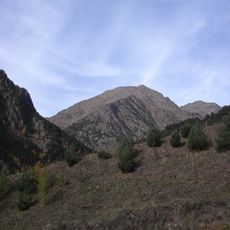
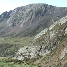
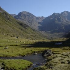
Pic de Sanfonts, Mountain summit in La Massana parish, Andorra
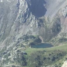
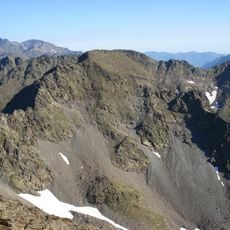
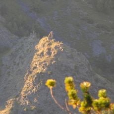
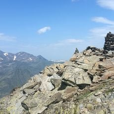
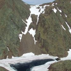
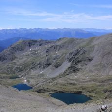
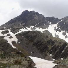
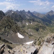
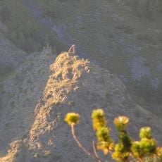
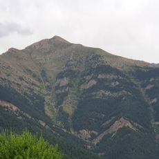
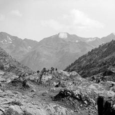
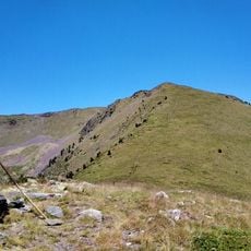
Pic de Sanfonts is a summit of 2,889 or 2,891 m in the parish of La Massana, Andorra, on the border with Spain's Lleida province. It lies 1.2 km southwest of Coma Pedrosa, Andorra's highest peak, and rises above the Estany Negre and the Basses de l'Estany Negre. Its rocks belong to the Pyrenees' axial chain, mainly Cambrian and Ordovician schist.
The sources record no historical events for Pic de Sanfonts; its documented interest is geological. It lies on the Pyrenees' primary axial chain, built of Palaeozoic rocks, and like much of northwest Andorra the rocks of the Coma Pedrosa valleys nature park date from the Cambrian and Ordovician, mainly metamorphic, with schist dominant.
The name Sanfonts, also written Sanfons or Cenfonts, comes from the Latin centum fontes, "a hundred springs", for a place where water is abundant, according to the linguist Joan Coromines. The peak stands on the border with Spain, above the Estany Negre and the Basses de l'Estany Negre.
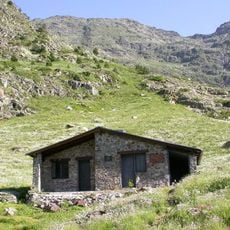
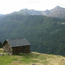
The peak lies in the Coma Pedrosa natural park and can be reached on the Spanish GR 11 from Arinsal, or by following the GRP from the Coll de la Botella on the Port de Cabús road to the Port Vell, then the Portella de Sanfonts and the ridge. The nearest mountain hut is the Refugi de Coma Pedrosa.
The name Sanfonts may come from the Latin centum fontes, "a hundred springs", as the linguist Joan Coromines proposed for the forms Sanfonts and Centfonts, a name for a place where water is plentiful. The peak also appears as Sanfons and Cenfonts in different sources.
The community of curious travelers
AroundUs brings together thousands of curated places, local tips, and hidden gems, enriched daily by 94,226 contributors worldwide.