Pointe du Grouin, Rocky coastal headland in Cancale, France
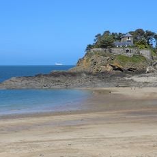
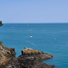
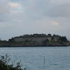
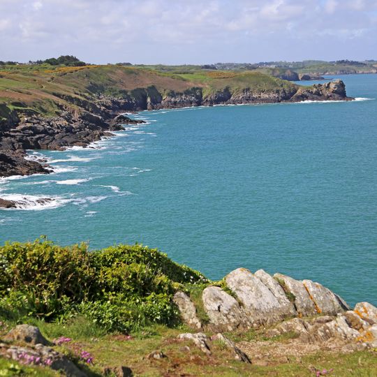
Pointe du Grouin is a rocky headland at the northern tip of Cancale, rising 40 metres above the sea. Its jagged grey and tan rock faces drop steeply to white breaking water, with sparse green shrubs on the lower slopes. The GR 34 footpath follows the cliff edge, and the Île des Landes and the Pierre-de-Herpin lighthouse stand offshore.
The semaphore at Pointe du Grouin was built in 1861 to watch ships offshore; the current building, set back from the first, replaced it in 1974, and the old station was decommissioned in 1999. During World War II the German army added a network of bunkers, shelters and tobruks, still visible around the point. The Department of Ille-et-Vilaine has owned the semaphore since 1977 and now uses it for a free permanent exhibition.
The name Grouin likens the rocky tip to a pig's snout. Since 1936 the site has drawn holidaymakers, and the Route du Rhum sailing race uses the point to trace its starting line, bringing 600,000 to a million visitors in race years.
Access is easiest from Cancale via marked walking paths that lead directly to the site in about 20 minutes on foot. The exposed coastal location means weather can change quickly, so visitors should come prepared with appropriate clothing and check tides before exploring lower cliff areas.
The Île des Landes facing the point is a bird and botanical reserve; from 1980 to 2007 the SEPNB ran free summer sessions there, lending long-view telescopes so visitors could watch the sea birds. The point itself is a vantage for starling, meadow pipit and swallow flocks, and the bushes hide Dartford warblers and fan-tailed warblers.
The community of curious travelers
AroundUs brings together thousands of curated places, local tips, and hidden gems, enriched daily by 92,873 contributors worldwide.