Pont de l'Europe, Road bridge in Vichy, France
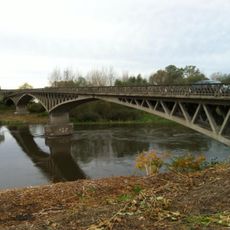
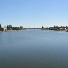
The Pont de l'Europe is a road bridge spanning 256 meters across the Allier River, linking Vichy and Bellerive-sur-Allier. Seven flaps built into the structure control water levels to support regional water management.
Construction of the bridge started in 1961 and was completed in 1963, replacing an older dam structure from 1862. This project was part of the modernization of water management in the Vichy region during the 20th century.
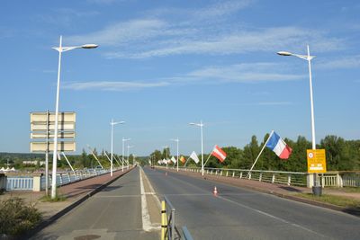
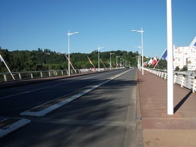
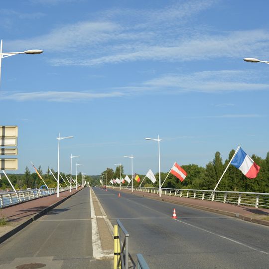
Eighteen flags line the bridge, each standing for a country or town of the transnational Great Spa Towns of Europe site, inscribed on the UNESCO World Heritage list on 24 July 2021. Among them, the French tricolour and the Austrian red-white-red flag are visible on angled poles along the right-hand railing.
The bridge carries the two-lane route départementale 6E, with raised reddish-brown sidewalks and white metal railings on both sides for pedestrians. A cycle lane replaced the third traffic lane in 2004 between the Pierre-Coulon sports park entrance and the Robert-Schuman roundabout. The boundary between Vichy and Bellerive-sur-Allier runs through the middle of the span.
The dam's seven flaps each measure 30 metres long and 7 metres high and weigh 40 tonnes. They are replaced one at a time, roughly every eight months, each new flap arriving by exceptional convoy that requires closing the bridge to traffic for a night; the old flap is then taken to Brive-la-Gaillarde to be dismantled.
The community of curious travelers
AroundUs brings together thousands of curated places, local tips, and hidden gems, enriched daily by 94,657 contributors worldwide.