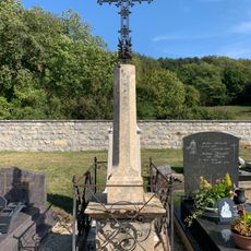
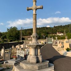
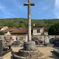
Signal de Nivigne, Mountain summit in Revermont region, France
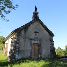
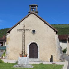
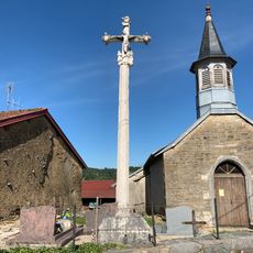
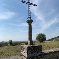
Signal de Nivigne is a mountain peak in the Revermont region between the departments of Ain and Jura in eastern France. Multiple hiking paths climb through forests of oak, beech, and maple trees to reach the open summit.
The mountain formed during the Jurassic period millions of years ago through tectonic movements. The rock formations visible today bear the marks of this ancient geological history.
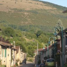
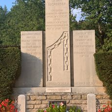
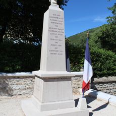
The summit sits where two departments meet, making it a symbolic boundary between distinct regional communities. Visitors notice this difference when walking through the forests and observing how the villages on each side have their own character.
The climb starts from either the north or south with several marked trails that wind through forests. Sturdy footwear is recommended since the ground can be uneven and conditions vary with the seasons.
Near the summit lies the Bear Cave, which visitors can explore to discover geological formations and underground features. This cavern hints at the region's prehistoric past when bears roamed the forests.
The community of curious travelers
AroundUs brings together thousands of curated places, local tips, and hidden gems, enriched daily by 60,000 contributors worldwide.