Enable Location

We need your location to show you interesting places around you

Discover nearby places

Find interesting locations and hidden gems around you

Precise directions

Get accurate directions and distances to places

Your location is never shared with other users. It's only used when you tap the location button.

Voie de la Dombes

Log in to your account

Start exploring — it's free

Trusted by 63,013 travelers worldwide

Continue with Google
Continue with Apple
or

We will send you a code to connect

By continuing, you accept our Terms and Conditions and our Privacy Policy

Check your inbox

We've sent a pincode in your inbox. Please enter the code below.

Voie de la Dombes
Discussion Reviews 2 Photos
2.2k Popularity

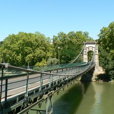
Voie de la Dombes, Greenway between Caluire-et-Cuire and Sathonay-Camp, France.

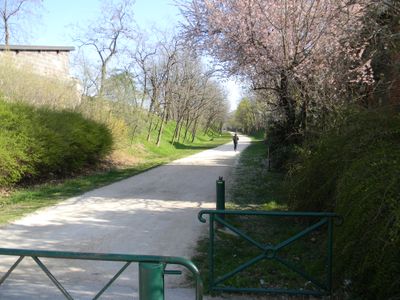
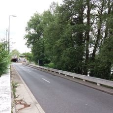
The Voie de la Dombes is a cycling and walking path that runs through the northern suburbs of Lyon on a former railway corridor. It stretches from Caluire-et-Cuire to Sathonay-Camp with a completely flat surface and well-maintained pathways.

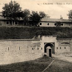
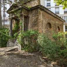
This route traces the former railway line from Lyon-Croix-Rousse to Trevoux, which stopped running in 1975. The conversion of this disused rail corridor into a cycling path reflects a modern approach to reusing industrial infrastructure.

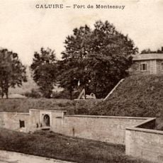
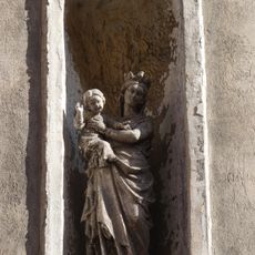
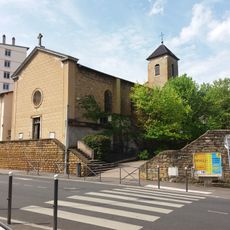
The path connects multiple neighborhoods, forming a natural boundary between Montessuy and Le Bourg before crossing through the Vassieux district.

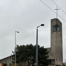
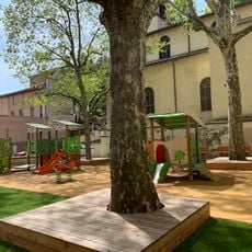
The route begins near Cuire metro station with basic facilities including restrooms, seating areas, and play zones along the starting section. The flat layout and clear signage make navigation straightforward for cyclists and walkers of all experience levels.

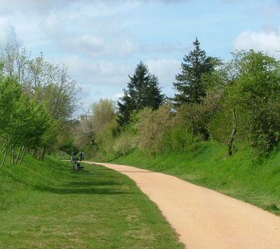
Travelers often notice a gradual shift from urban surroundings to increasingly rural landscapes as they progress toward Sathonay-Camp. This natural transition demonstrates how a single path can connect different living environments across the region.

The community of curious travelers

AroundUs brings together thousands of curated places, local tips, and hidden gems, enriched daily by 60,000 contributors worldwide.

Start exploring
Location
Location
GPS coordinates
45.78850,4.83741
Latest update
December 13, 2025 17:09
Reviews
Share your experience

No review yet

Discussions
Start a discussion...

No discussion yet

« Voie de la Dombes - Greenway between Caluire-et-Cuire and Sathonay-Camp, France » is provided by Around Us (aroundus.com). Images and texts are derived from Wikimedia project under a Creative Commons license. You are allowed to copy, distribute, and modify copies of this page, under the conditions set by the license, as long as this note is clearly visible.

Discover hidden gems everywhere you go!

From secret cafés to breathtaking viewpoints, skip the crowded tourist spots and find places that match your style. Our app makes it easy with voice search, smart filtering, route optimization, and insider tips from travelers worldwide. Download now for the complete mobile experience.

Around Us App Screenshot

A unique approach to discovering new places

Le Figaro

All the places worth exploring

France Info

A tailor-made excursion in just a few clicks

20 Minutes

Around Us
Travel Guide & Maps
Download

Send to your phone

QR Code
1

Open the camera app on your mobile.

2

Point at the QR code with your camera. A notification will appear.

3

Tap the notification to open the link.