
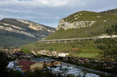
Viaduc des Neyrolles, bridge in France
Location: Nantua
Inception: 1985
Architects: Maurice Novarina
Length: 782 m
GPS coordinates: 46.14453,5.63150
Latest update: September 23, 2025 16:46
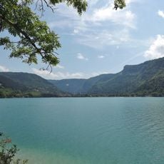
Lac de Nantua
3.9 km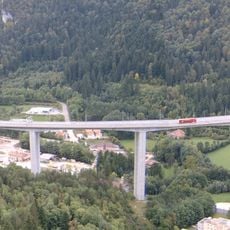
Viaduc de Nantua
1.3 km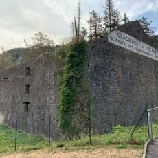
Glacières de Sylans
2.4 km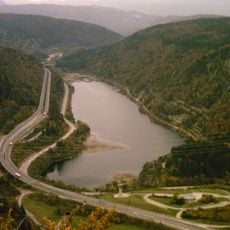
Lac de Sylans
3.1 km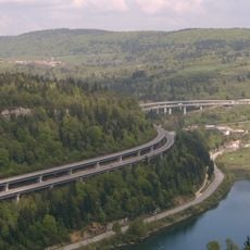
Viaduc de Sylans
2.7 km
Église Saint-Michel de Nantua
2 km
Musée départemental d'Histoire de la Résistance et de la Déportation de l'Ain et du Haut-Jura
2 km
Abbaye Saint-Pierre de Nantua
2 km
Viaduc de Charix
4.8 km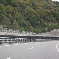
Viaduc des Glacières
4.8 km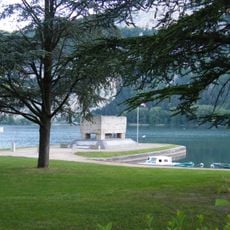
Mémorial aux Déportés de l'Ain
2.8 km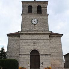
Église Saint-Félix du Poizat
4.9 km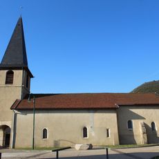
Église Sainte-Madeleine de Port
4.9 km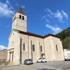
Église Saint-Clair des Neyrolles
542 m
Église Saint-Théodule de Chevillard
5.5 km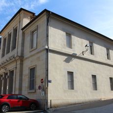
Palais de justice de Nantua
2 km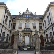
Building of the Savings Bank of Nantua
2.3 km
Town hall of Chevillard
5.5 km
Town hall of Port
5 km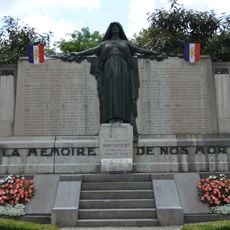
War memorial of Nantua
2.4 km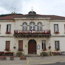
Town hall of Le Poizat
5 km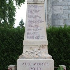
War memorial of Le Poizat
4.9 km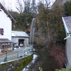
Cascade du moulin de Charix
4.6 km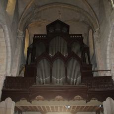
Orgue de tribune de l'église Saint-Michel de Nantua
2 km
Town hall of Les Neyrolles
421 m
Town hall of Charix
5.9 km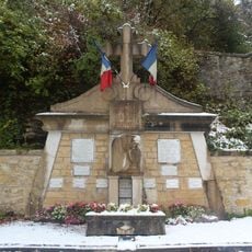
War memorial of Les Neyrolles
629 m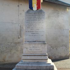
War memorial of Port
5 kmReviews
Visited this place? Tap the stars to rate it and share your experience / photos with the community! Try now! You can cancel it anytime.
Discover hidden gems everywhere you go!
From secret cafés to breathtaking viewpoints, skip the crowded tourist spots and find places that match your style. Our app makes it easy with voice search, smart filtering, route optimization, and insider tips from travelers worldwide. Download now for the complete mobile experience.

A unique approach to discovering new places❞
— Le Figaro
All the places worth exploring❞
— France Info
A tailor-made excursion in just a few clicks❞
— 20 Minutes