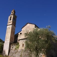
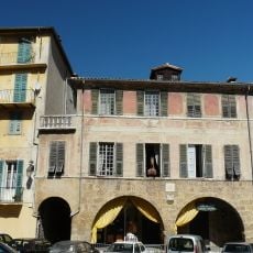
Mont Grazian, Mountain summit in Alpes-Maritimes, France
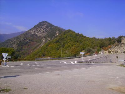
Mont Grazian rises to 863 meters and sits between the Sospel and Roya valleys in the Maritime Alps. Its slopes support thick deciduous forests mixed with scattered pine stands that change with elevation.
The slopes bear traces of old border markers that reveal how administrative boundaries shifted across the Maritime Alps over time. These marks remain as physical evidence of territorial changes that shaped the region.
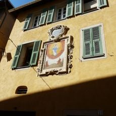
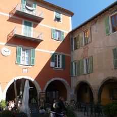
Local hunters work alongside residents in ways that reflect long-held traditions of the region, and these practices have shaped how people move through and use the landscape today.
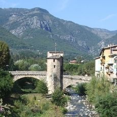
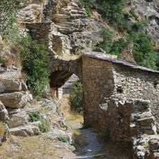
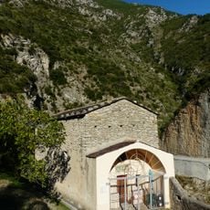
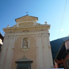
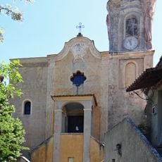
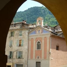
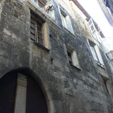
A circular hiking route starts at Pont de Caï and climbs about 600 meters while passing through the hamlet of Piène Haute on a path that spans roughly 15 kilometers. Sturdy footwear and several hours of daylight are necessary for this walk.
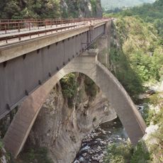
One section of the path is carved directly into rock above the Bévéra gorges and passes through an area with over 30 plant species adapted to rocky slopes. Holm oak and hop hornbeam are among the trees that thrive in this exposed location.
The community of curious travelers
AroundUs brings together thousands of curated places, local tips, and hidden gems, enriched daily by 60,000 contributors worldwide.