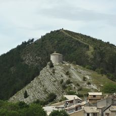
Sommet de la Bernarde, Mountain summit in Alpes-de-Haute-Provence, France
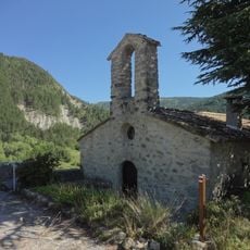
Sommet de la Bernarde is a mountain peak in the Alpes-de-Haute-Provence region that rises to 1941 meters above sea level. Several hiking trails wind through forested slopes on the way to the summit.
This peak has long served as a geographical reference point in the region, particularly following the establishment of the Geological Reserve of Haute Provence. Its role in the local landscape has remained consistent over time.
Local mountaineering groups regularly organize guided excursions to educate visitors about the geological formations found throughout the ascent.
The main hiking route begins at the Col de Toutes Aures parking area and takes roughly four and a half hours to complete with an elevation gain of about 800 meters. Proper footwear and reasonable fitness are needed for this route.
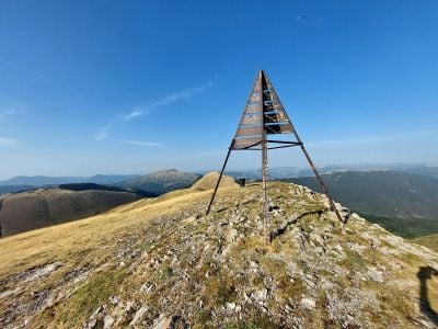
A metal cairn marker stands at the summit to mark the highest point. Less obvious paths branch off from here and require solid navigation skills to follow safely.
The community of curious travelers
AroundUs brings together thousands of curated places, local tips, and hidden gems, enriched daily by 60,000 contributors worldwide.