
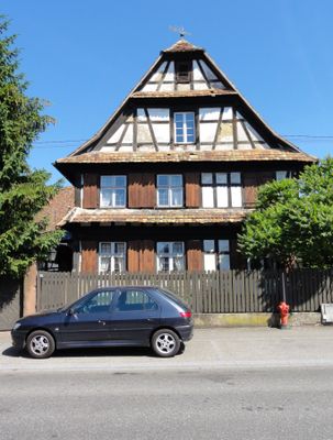
Ferme, 26 rue de la République, human settlement in France
Location: Hœrdt
Address: 26, rue de la République
GPS coordinates: 48.69930,7.78530
Latest update: March 3, 2025 10:05

MM Park
4.1 km
Parc d'aventures de Brumath
4.8 km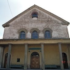
Brumath synagogue
6.2 km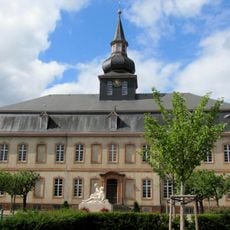
Château de Brumath
6.6 km
Moulin à huile de La Wantzenau
5.7 km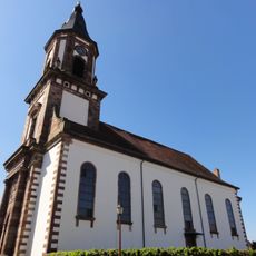
Église Saint-Michel de Weyersheim
2.5 km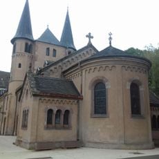
Église Notre-Dame de Stephansfeld
6.1 km
Golf de La Wantzenau
3.3 km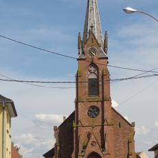
Église catholique Saint-Blaise de Geudertheim
3.3 km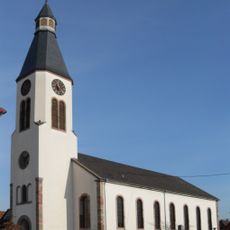
Église luthérienne
191 m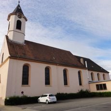
Église Saint-Jean-l'Évangéliste de Kilstett
5.9 km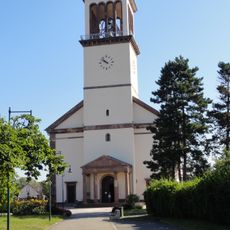
Église Saint-Wendelin de La Wantzenau
4.9 km
Église protestante de Vendenheim
6.6 km
Église luthérienne
6.6 km
Église Saint-Michel de Reichstett
6.1 km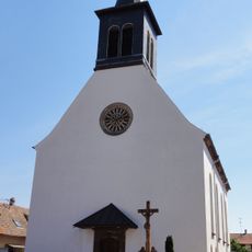
Église Saint-Sixte de Hœrdt
188 m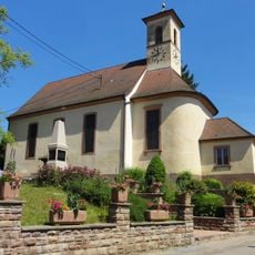
Église simultanée Saint-Michel de Kurtzenhouse
4.8 km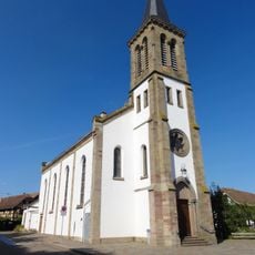
Église Saint-Lambert de Vendenheim
6.4 km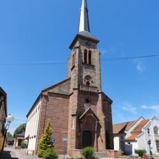
Église Saint-Gall de Weitbruch
6.2 km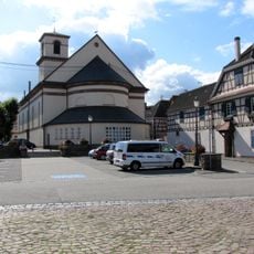
Église Saint-Nazaire Saint-Celse de Brumath
6.5 km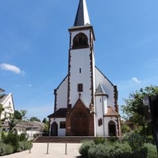
Église Saint-Jacques-le-Majeur de Gries
6.3 km
Église protestante de Gries
6.2 km
Église luthérienne de Weitbruch
6 km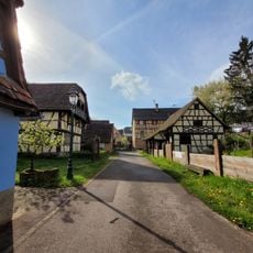
Park Alsatian House
6.2 km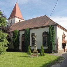
Église protestante Saint-Blaise de Geudertheim
3.5 km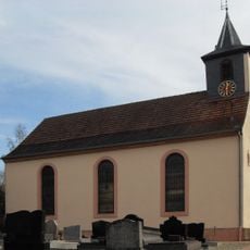
Église protestante de Bietlenheim
2.3 km
Église de l´Alliance
6.2 km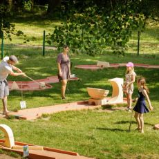
Miniature golf course
4.8 kmVisited this place? Tap the stars to rate it and share your experience / photos with the community! Try now! You can cancel it anytime.
Discover hidden gems everywhere you go!
From secret cafés to breathtaking viewpoints, skip the crowded tourist spots and find places that match your style. Our app makes it easy with voice search, smart filtering, route optimization, and insider tips from travelers worldwide. Download now for the complete mobile experience.

A unique approach to discovering new places❞
— Le Figaro
All the places worth exploring❞
— France Info
A tailor-made excursion in just a few clicks❞
— 20 Minutes