Fayé, Mountain summit in Territoire de Belfort, France
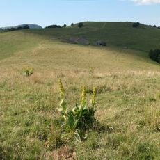
Fayé is a rounded, tree-covered summit in the Vosges massif, rising to 916 metres on the border of Étueffont and Grosmagny, whose highest point it forms. Its broad dome is clad in an unbroken beech forest from base to top, with no bare rock or buildings on the crown; only the lower slopes open onto the surrounding valleys. Several streams rise on its flanks, among them the Goutte du Sape, the Rougegoutte and the Quet to the southwest and the Goutte du Perche to the north.
In 2009 a wind farm was studied for the Fayé summit; the main communes involved abandoned the project in 2010, citing its impact on the landscape, the environment and the local economy. The summit marks the boundary between Étueffont and Grosmagny, and is the highest point of both communes at 916 metres.
The name Fayé may derive from "foyard", an old French word for the beech tree. Each 1 May, a walk called the "montée du Fayé" sets out from five villages — Étueffont, Petitmagny, Vescemont, Rougegoutte and Grosmagny — and heads up the mountain.
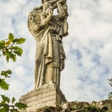
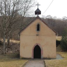
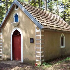
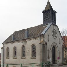
Several marked hiking trails cross the Fayé and lead to the 916-metre summit, and the Notre-Dame du Grippot chapel stands on the southwestern flank along these paths. The routes pass through beech forest, so sturdy shoes are useful. Each 1 May, walks set out from Étueffont, Petitmagny, Vescemont, Rougegoutte and Grosmagny.
A small chapel called Notre-Dame du Grippot sits on the southwestern slope and offers a quiet place to rest. Most hikers pass by without knowing it exists, despite it being just off the main trail.
The community of curious travelers
AroundUs brings together thousands of curated places, local tips, and hidden gems, enriched daily by 94,018 contributors worldwide.