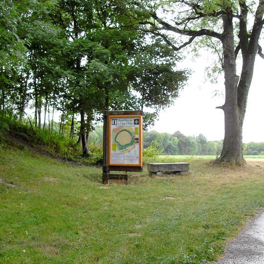
Camp d'Attila, Archaeological site in La Cheppe, France
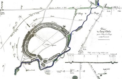
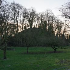
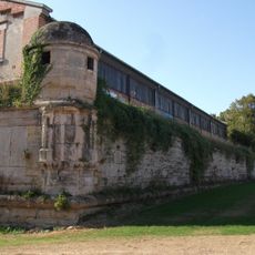
Camp d'Attila is a Gallic oppidum at La Cheppe, an elliptical enclosure of about 30 hectares defended by a murus gallicus rampart 4 to 5 metres high, fronted by a ditch. Measured from the ditch, the earth-and-timber wall rises 10 to 12 metres at a slope of 50 to 60 degrees. The Noblette stream borders the southern rampart, and four gaps pierce the wall.
The settlement originated as a Gallic oppidum in the first century BCE and later served as a Roman military installation during the occupation period. This transformation shows how successive powers adapted existing fortified locations to suit their own strategic needs.
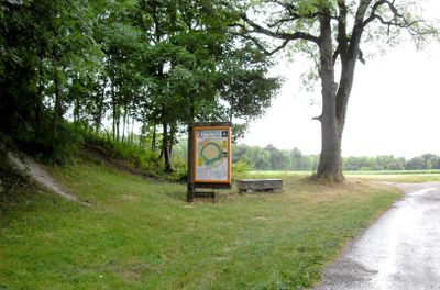
The name Camp d'Attila only appeared in the 19th century; earlier the site was called Vetus Catalaunum, old Châlons, and Roman sources name it Fanomin, for a temple of Minerva. Adrien Sanson, geographer to Louis XIII, is credited with linking the name to Attila in the 17th century, though no trace of the Hun has been found. The information panel at the entrance carries the name and a map of the enclosure.
The site remains open to visitors but portions are privately owned, so watch for boundary markers and respect posted restrictions. Comfortable walking shoes are important since exploring the ramparts and sloping terrain requires steady footing on uneven ground.
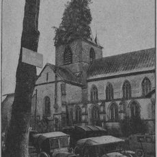
During World War I, the ancient ramparts served as an ammunition storage depot, layering modern warfare onto a structure built for ancient conflicts. This repurposing demonstrates how successive wars found new uses for the defensive advantages this location provided.
The community of curious travelers
AroundUs brings together thousands of curated places, local tips, and hidden gems, enriched daily by 93,144 contributors worldwide.