Enable Location

We need your location to show you interesting places around you

Discover nearby places

Find interesting locations and hidden gems around you

Precise directions

Get accurate directions and distances to places

Your location is never shared with other users. It's only used when you tap the location button.

Larina oppidum

Log in to your account

Start exploring — it's free

Trusted by 62,407 travelers worldwide

Continue with Google
Continue with Apple
or

We will send you a code to connect

By continuing, you accept our Terms and Conditions and our Privacy Policy

Check your inbox

We've sent a pincode in your inbox. Please enter the code below.

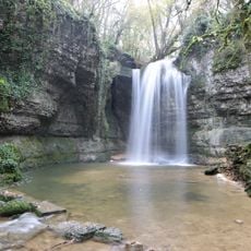
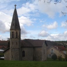
Larina oppidum, Archaeological site in Hières-sur-Amby, France.

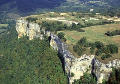
Larina oppidum is an archaeological site situated on a limestone ridge overlooking the upper Rhone valley, spanning about 21 hectares. The area is enclosed by a rampart approximately 950 meters in length, which defines and protects the ancient settlement's boundaries.

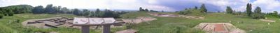
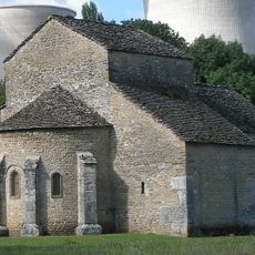
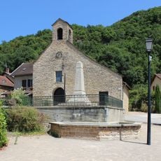
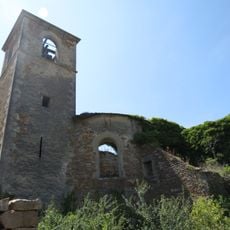
The settlement began in the Bronze Age and later became a fortified oppidum of the Allobroges, a Celtic tribe. During Roman times, a sanctuary dedicated to Mercury was built, and by the Merovingian period it had transformed into an administrative center.

The site served as a fortified center for the Allobroges, who organized their community and defended their territory from this strategic position. Visitors can still sense how people used this high ground to monitor the river valley below and control the surrounding area.

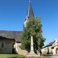
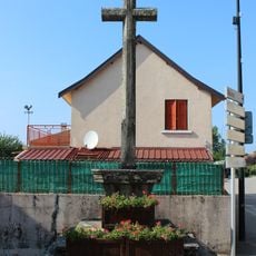
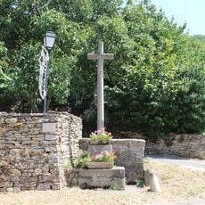
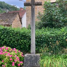
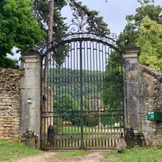
The site is accessible throughout the year and is located in the village center of Hières-sur-Amby. Wear sturdy footwear, as the ground on the elevated ridge can be uneven and steep in places.

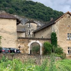
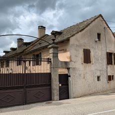
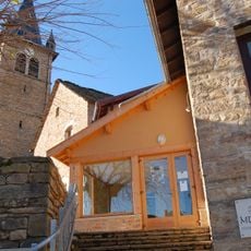
A remarkably preserved residential building from the 6th century shows how people lived in this region after the fall of Rome. The structure was later adapted into a fortress, reflecting the shifting circumstances of that era.

The community of curious travelers

AroundUs brings together thousands of curated places, local tips, and hidden gems, enriched daily by 60,000 contributors worldwide.

Start exploring
Location
Address
lieu-dit "Le Dozier"
GPS coordinates
45.79313,5.30042
Latest update
December 8, 2025 21:08
« Larina oppidum - Archaeological site in Hières-sur-Amby, France » is provided by Around Us (aroundus.com). Images and texts are derived from Wikimedia project under a Creative Commons license. You are allowed to copy, distribute, and modify copies of this page, under the conditions set by the license, as long as this note is clearly visible.

Discover hidden gems everywhere you go!

From secret cafés to breathtaking viewpoints, skip the crowded tourist spots and find places that match your style. Our app makes it easy with voice search, smart filtering, route optimization, and insider tips from travelers worldwide. Download now for the complete mobile experience.

Around Us App Screenshot

A unique approach to discovering new places

Le Figaro

All the places worth exploring

France Info

A tailor-made excursion in just a few clicks

20 Minutes

Around Us
Travel Guide & Maps
Download

Send to your phone

QR Code
1

Open the camera app on your mobile.

2

Point at the QR code with your camera. A notification will appear.

3

Tap the notification to open the link.