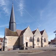
Rémalard en Perche, Administrative commune in Normandy, France.
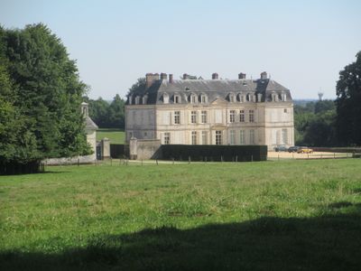
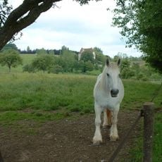
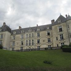
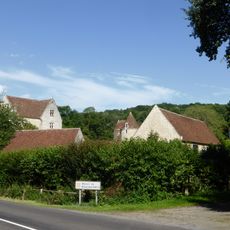
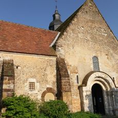
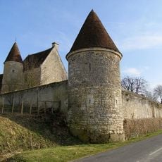
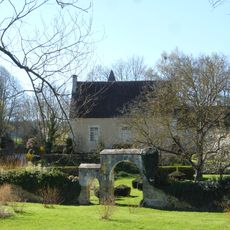
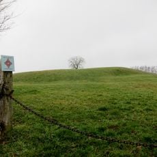
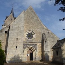
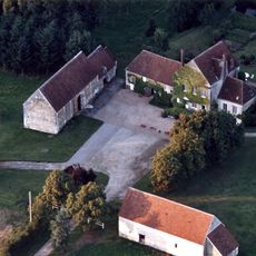
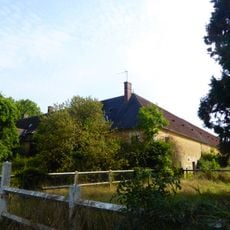
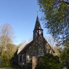
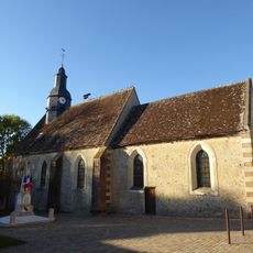
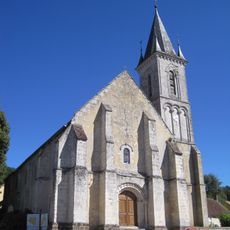
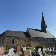
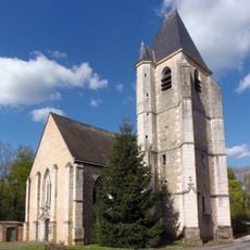
Rémalard en Perche is a commune in the Orne department of Normandy, formed by grouping several smaller villages around the main town of Rémalard. The territory covers gently rolling farmland, scattered hamlets, and patches of woodland that are typical of the Perche countryside.
On January 1, 2016, several previously independent villages were merged to form Rémalard en Perche as a single commune. This was part of a wider movement across France in which many small rural municipalities were brought together into larger administrative units.
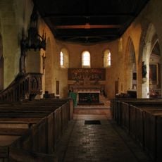
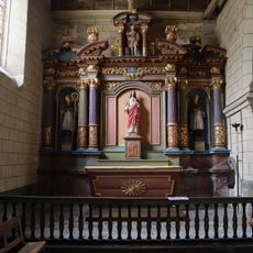
The name Perche refers to an old natural region whose identity still shapes how people here relate to the land and its farming traditions. Local markets in the area sell Perche cheeses, cider and honey, giving visitors a direct taste of what the countryside produces.
The main town of Rémalard is the best starting point for a visit, as it offers basic services and parking. The rural roads connecting the surrounding hamlets are narrow, so a personal vehicle is the most practical way to move around.
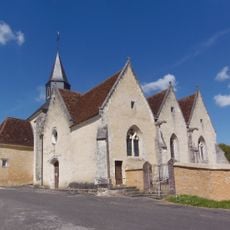
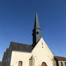
Although Rémalard en Perche is a recent administrative creation, each of the merged hamlets still carries its old place name and keeps a separate local identity within the broader commune. Driving through the area, you pass signposts with historic names that point to a much older pattern of settlement.
The community of curious travelers
AroundUs brings together thousands of curated places, local tips, and hidden gems, enriched daily by 60,000 contributors worldwide.