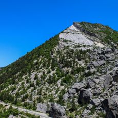
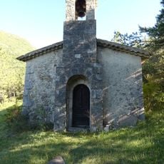
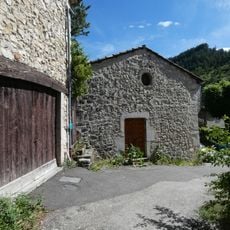
Montagne de la Cervelle, Mountain summit in Diois Massif, France.
The summit rises to 965 meters and displays three distinct sides, with steep cliffs forming the western face. The northeast side opens into gentle pastures that transition into forests beneath the rock walls.
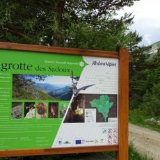
The mountain paths served for generations as vital routes for shepherds moving their flocks to high summer pastures. These ancient ways still run through the region today and show the long connection between people and the land.
The name refers to the shape of the summit area, reflecting how local people have long understood the landscape. Herds of sheep graze on the upper pastures, and their presence shapes how these meadows look today.
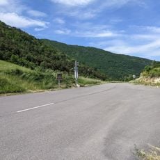
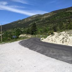
The route starts from Col de Vache near Volvent village and follows marked trails through changing terrain. Visitors should prepare for transitions from sunny slopes to shadier forest areas, as this variation affects conditions along the way.
The mountain displays a sharp contrast between its sun-facing dry side and the damper, tree-covered areas on the north side. This difference becomes obvious as you walk the route and creates a varied experience on a single climb.
Elevation above the sea: 965 m
GPS coordinates: 44.58778,5.34444
Latest update: December 15, 2025 13:23
Réserve naturelle régionale de la grotte des Sadoux
8.1 km
Église de Saint-Benoit-en-Diois
10.1 km
Église Saint-Pierre-ès-Liens de Pradelle
4.8 km
Église Notre-Dame de La Motte-Chalancon
11.7 km
Chapelle du cimetière de Savel
8 km
Église de La Chaudière
11.3 km
Église Saint-Pierre de Bellegarde-en-Diois
8.6 km
Église Saint-Pierre de Chalancon
8.7 km
Église Notre-Dame de Gumiane
10.7 km
Église Saint-Pierre de Rochefourchat
7.8 km
Église Sainte-Anne de Montlaur-en-Diois
8.4 km
Église Saint-André de Jonchères
5.1 km
Église Notre-Dame-de-la-Nativité de Volvent
3.1 km
Église de la Sainte-Vierge de Luc-en-Diois
9 km
Église Saint-Nazaire-et-Saint-Celse de Saint-Nazaire-le-Désert
5.9 km
Temple d'Establet
11.8 km
Pic de Luc
9.8 km
Col de la Chaudière
12.1 km
Église Notre-Dame de Berlière
11.2 km
Viaduc du Claps
9 km
Chapelle Notre-Dame de l'Aribat
7.3 km
Col Lescou
11.7 km
Temple de Poyols
6.2 km
Temple de Pennes-le-Sec
6 km
Temple de Luc-en-Diois
9.1 km
Chapelle Saint-Joseph de Saint-Nazaire-le-Désert
5.7 km
Col des Roustans
5.7 km
War memorial of Gumiane
10.7 kmVisited this place? Tap the stars to rate it and share your experience / photos with the community! Try now! You can cancel it anytime.
Discover hidden gems everywhere you go!
From secret cafés to breathtaking viewpoints, skip the crowded tourist spots and find places that match your style. Our app makes it easy with voice search, smart filtering, route optimization, and insider tips from travelers worldwide. Download now for the complete mobile experience.
A unique approach to discovering new places❞
— Le Figaro
All the places worth exploring❞
— France Info
A tailor-made excursion in just a few clicks❞
— 20 Minutes