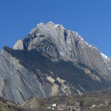
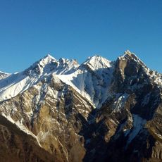
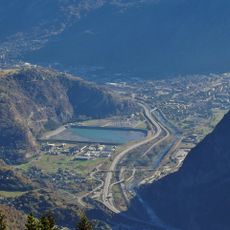
Cime de Lancheton, Mountain summit in Savoie, France
Cime de Lancheton rises to 2417 meters with steep slopes that define the alpine landscape of eastern France. Marked hiking paths traverse the mountainside and connect different elevations throughout the terrain.
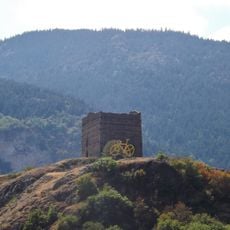
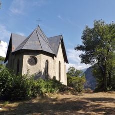
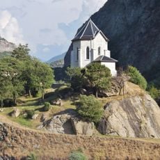
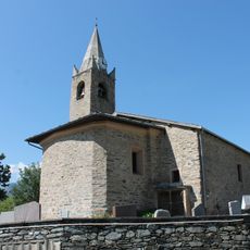
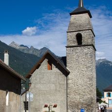
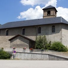
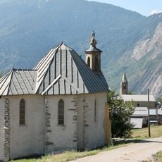
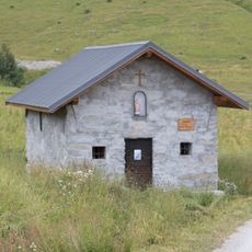
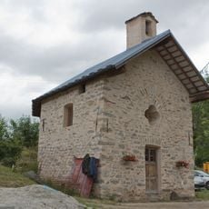
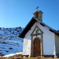
Old shepherd settlements and stone ruins such as Tovière and the Sainte Brigitte oratory mark the long human presence in this region. These sites are embedded in the historical routes that cross the mountain today.
Herders use the mountain meadows surrounding the peak for traditional livestock grazing, especially in summer when cattle herds move to higher pastures. This practice shapes the landscape and the rhythm of the area to this day.
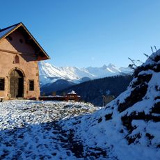
The main route starts from Mont Denis and involves a climb of about 930 meters on well-marked paths. Along the way, the trails pass by the Plan du Cuir chalets, which serve as useful reference points for hikers.
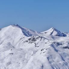
In spring, Koch's gentians and hirsute primroses bloom across the mountain slopes in abundance. The less-traveled northern face of the peak is frequented by chamois herds that prefer these more remote areas.
The community of curious travelers
AroundUs brings together thousands of curated places, local tips, and hidden gems, enriched daily by 60,000 contributors worldwide.