PC Alt 599, Mountain summit in Provence-Alpes-Côte d'Azur, France.
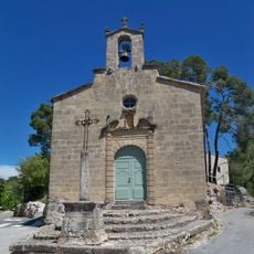
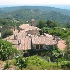
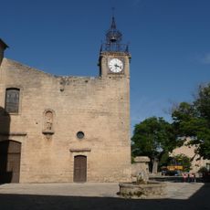
PC Alt 599 is a mountain summit in Provence-Alpes-Côte d'Azur that rises to 599 meters. The view from here sweeps across the Provençal landscape down to the Mediterranean Sea.
The summit became a reference point in the 19th century during mapping expeditions that recorded the elevations of southeastern French peaks. These measurements provided the basis for more accurate regional maps.
Shepherds in the area have long used this location as a reference point when moving their flocks between seasonal pastures. The paths and vantage points here reflect centuries of pastoral movement across the land.
Wear sturdy footwear and bring water for the climb, as the route can be exposed and sunny. Spring and autumn offer the most pleasant conditions for reaching the summit.
The summit features a concrete pillar that serves as a triangulation point for geodetic surveying. This marker continues to assist mapmakers and surveyors in measuring the region today.
The community of curious travelers
AroundUs brings together thousands of curated places, local tips, and hidden gems, enriched daily by 60,000 contributors worldwide.