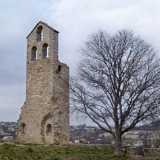
PC Alt 566, Mountain summit near Vaugines, France
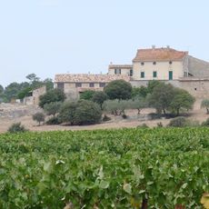
PC Alt 566 is a mountain summit near Vaugines in the Provence-Alpes region of southern France. The peak stands at 566 meters and marks a notable vantage point in the local landscape.
This summit first appeared on French topographic maps in 1836 and has remained a documented reference point since then. Its long-standing presence in cartographic records reflects its importance to regional surveying.
The summit serves as a reference point for local hikers who traverse the paths connecting various peaks in the Provence-Alpes region.
You can locate the summit using GPS coordinates for precise navigation to the site. The area is best accessed on foot, with hiking trails connecting through the surrounding landscape.
This geographical marker forms part of a network of elevation points that help measure and monitor changes in the French mountainous terrain.
The community of curious travelers
AroundUs brings together thousands of curated places, local tips, and hidden gems, enriched daily by 60,000 contributors worldwide.