Pointe de la Botte, Mountain summit in Haute-Savoie, France
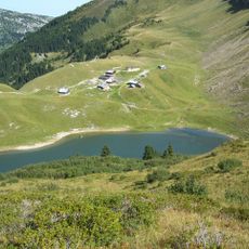
Pointe de la Botte is a 1,613-metre summit in the French Alps above Le Reposoir, about 10 km from Cluses. Its upper part is a smooth, brownish-green grassy cone; below, vertical gullies and ridges of pale rock and dry grass score the slopes. Sparse dark conifers stand on the left flank, and a faint path crosses the lower slope.
The limestone formations date back millions of years to the Jurassic period, revealing the geological story of the Alps. This peak represents one phase in the long mountain-building process that shaped the entire Alpine range.
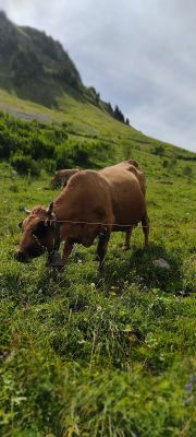
The peak's name, "Pointe de la Botte", means "Boot Point" in French, referring to the pointed summit shape. The mountain rises to 1,613 metres in the Bornes massif above Le Reposoir, about 10 km from Cluses. Its slopes are wooded with conifers and used as alpine pasture in summer.
The peak is reached via marked hiking trails from Col de la Colombière and is best visited between June and September. Trail conditions improve during these warmer months when snow clears from the upper slopes.
From the summit you can see both the Bornes and Aravis mountain ranges at the same time, a view many visitors overlook. This vantage point makes the location special for mountain photography and landscape observation.
The community of curious travelers
AroundUs brings together thousands of curated places, local tips, and hidden gems, enriched daily by 94,286 contributors worldwide.