Col de la Colombière, Mountain pass in Le Reposoir, France
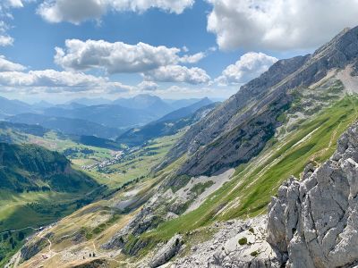
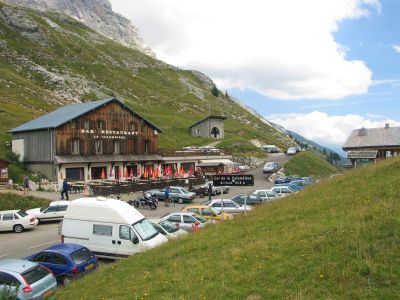
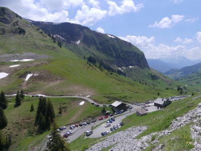
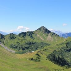
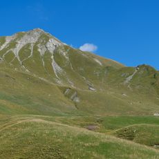
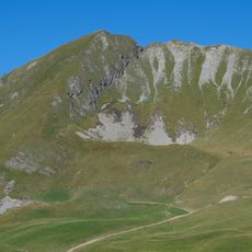
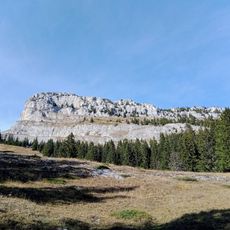
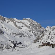
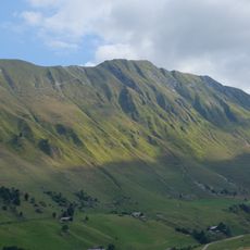
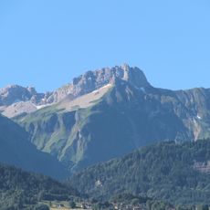
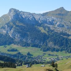
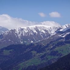
The Col de la Colombière is a mountain pass in Le Reposoir that links two valleys through a fully paved road. The pass reaches 1,613 meters and offers a bar-restaurant, parking areas, and a souvenir shop at the summit.
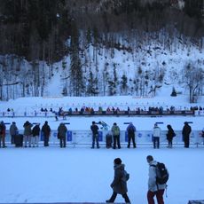
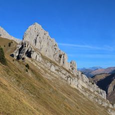
The pass was first included in the Tour de France in 1960 and has appeared in the prestigious cycling race over twenty times since then. Its addition transformed it into a key mountain stage for professional cyclists.
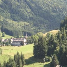
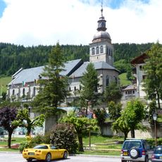
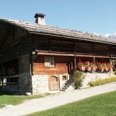
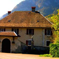
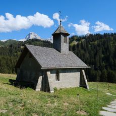
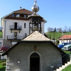
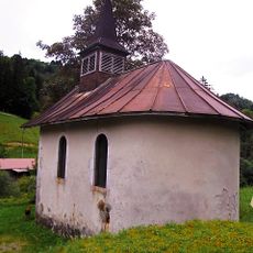
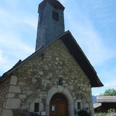
The Charterhouse at Le Reposoir sits along the route, showing how religious communities shaped the valley's architecture and daily life. Travelers passing through can observe the monastic buildings that reflect centuries of spiritual tradition in this mountain region.
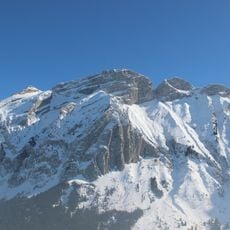
The pass is typically open from May to November, so visitors should expect snow and closures outside these months. It is wise to check local conditions beforehand, especially during shoulder seasons.
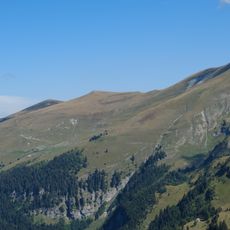
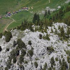
The northern approach offers a particularly challenging route for cyclists, becoming noticeably steeper in the final four kilometers above Chinaillon. This technical passage has made the pass legendary among cycling enthusiasts.
Location: Le Reposoir
Elevation above the sea: 1,613 m
Part of: Route des Grandes Alpes
Address: Col de la Colombière, 74950 Le Reposoir, France
GPS coordinates: 45.99224,6.47569
Latest update: December 8, 2025 19:42
Chartreuse du Reposoir
5 km
Sylvie Becaert Biathlon Stadium
6.7 km
Lac Bénit
4.6 km
Pointe Blanche
1.4 km
Pic de Jalouvre
1.8 km
Grand Bargy
2.9 km
Aiguille Verte
3.5 km
Rochers de Leschaux
4.9 km
Église Notre-Dame-de-l'Assomption du Grand-Bornand
6.7 km
Pointe d'Almet
3.8 km
Pointe de Balafrasse
1.6 km
Maison du patrimoine bornandin
6.6 km
Pointe de Grande Combe
3.3 km
Petit Bargy
4.4 km
Le Buclon
2.4 km
Pointe Dzérat
1.4 km
Presbytère du Petit-Bornand-les-Glières
6.4 km
Pointe de Deux Heures
1.9 km
Pointe du Midi
1.6 km
Roc des Tours
4.3 km
Pointe du Château
7 km
Tête d'Auferrand
1.1 km
Maison du patrimoine bornandin
6.6 km
Chapelle Notre-Dame, Saint-Guérin, Saint-Grat et Bienheureux-Jean-d'Espagne de la Duche
4 km
Chapelle de Pincru
6.4 km
Chapelle Sainte-Renée de Beffay
7.1 km
Chalets de Mayse
4.5 km
Chapelle Notre-Dame-des-Neiges du Vieux-Chinaillon
3.2 kmVisited this place? Tap the stars to rate it and share your experience / photos with the community! Try now! You can cancel it anytime.
Discover hidden gems everywhere you go!
From secret cafés to breathtaking viewpoints, skip the crowded tourist spots and find places that match your style. Our app makes it easy with voice search, smart filtering, route optimization, and insider tips from travelers worldwide. Download now for the complete mobile experience.
A unique approach to discovering new places❞
— Le Figaro
All the places worth exploring❞
— France Info
A tailor-made excursion in just a few clicks❞
— 20 Minutes