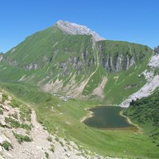
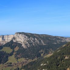
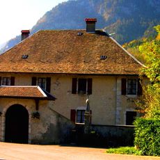
Grand Bargy, Alpine summit in Haute-Savoie, France
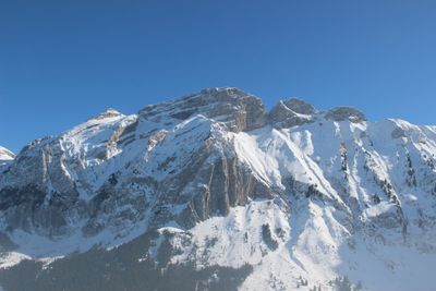
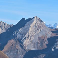
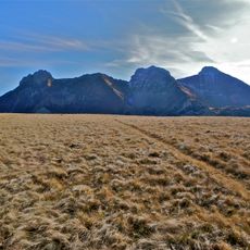
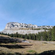
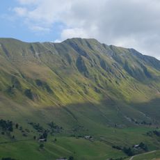
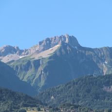
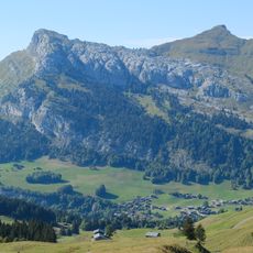
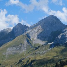
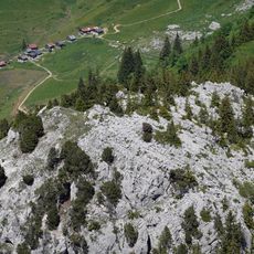
Grand Bargy is a limestone summit in the French Alps standing 2,301 meters high above the surrounding valleys. Its distinctive hogback ridge and pale rock formations give it a recognizable profile visible from multiple viewpoints across the region.
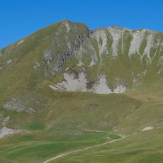
The mountain took shape during the Alpine folding millions of years ago, as tectonic forces compressed limestone layers into its distinctive ridge form. This geological past remains visible in the rock layers and structural lines that run across the summit.
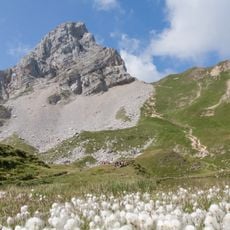
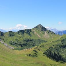
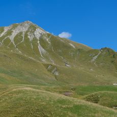
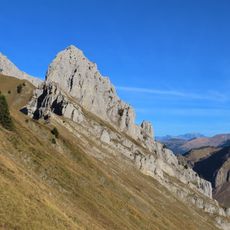
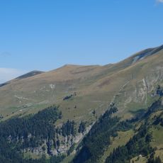
The mountain trails bear orange markings between the summit and Col d'Encrenaz, showing how local mountaineers have developed route-finding traditions. These visible signs help visitors navigate while reflecting the community's long relationship with the slopes.
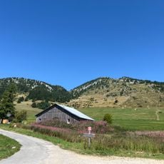
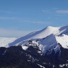
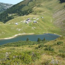
The main routes start from Col d'Encrenaz or Le Reposoir village, following orange-marked trails to the summit. Weather changes quickly at this elevation, so visitors should bring layers and check conditions before heading out.
The summit serves as a protected nesting zone for bearded vultures from November to July, with access restrictions during breeding season. This designation reflects efforts to help these rare birds thrive in the alpine environment.
The community of curious travelers
AroundUs brings together thousands of curated places, local tips, and hidden gems, enriched daily by 60,000 contributors worldwide.