Pointe du Midi, Mountain summit in Haute-Savoie, France
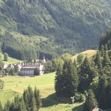
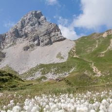
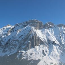
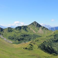
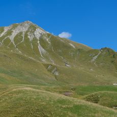
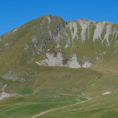
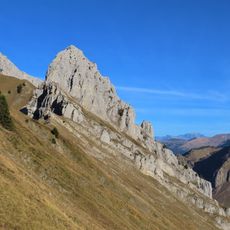
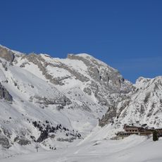
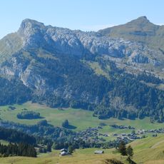
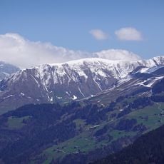
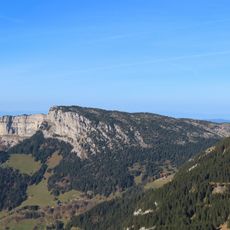
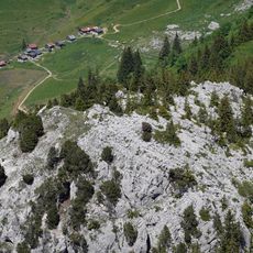
Pointe du Midi is a 2364-metre summit in the Bargy chain of Haute-Savoie, standing between the Col de la Colombière to the south and the Col de Cenise to the north-west. Its crown is a jagged crest of pale grey rock, with a broad scree slope falling away to the left and patches of snow on the upper flanks. Below the rock and grass, forested slopes drop toward a small cluster of buildings.
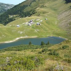
Pointe du Midi rises to 2,364 metres in the Bargy chain of Haute-Savoie, between the Col de la Colombière to the south and the Col de Cenise to the north-west. The summit is flanked by the Pointe de Balafrasse to the south-west and the Pointe Dzérat, or Pointe Est du Midi, to the south-east. It is climbed on foot from the Col de la Colombière by way of the Lac de Peyre.
The summit stands on the border between Le Reposoir and Mont-Saxonnex, above the Col de la Colombière to the south and the Col de Cenise to the north-west. The usual hiking route leaves the Col de la Colombière and passes Lac de Peyre before gaining the top. The neighbouring summits are the Pointe de Balafrasse to the south-west and the Pointe Dzérat, or Pointe Est du Midi, to the south-east.
Hikers can reach the summit via a marked trail starting from Col de la Colombière, with the climb taking approximately three hours of walking. The route passes through varied mountain terrain with different elevation changes and gradient sections.
The summit stands in the centre of the Bargy chain, between the Col de la Colombière to the south and the Col de Cenise to the north-west, with the pointe de Balafrasse to the south-west and the pointe Dzérat, or pointe Est du Midi, to the south-east. The 2,364-metre top rises about 149 metres above the surrounding terrain, and the ridge is only some 0.55 kilometres wide at its base.
The community of curious travelers
AroundUs brings together thousands of curated places, local tips, and hidden gems, enriched daily by 94,638 contributors worldwide.