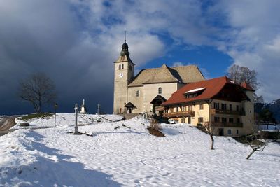
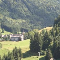
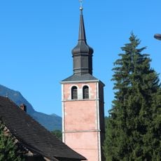
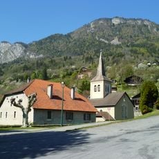
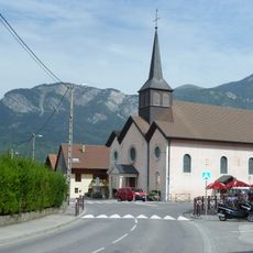
Mont-Saxonnex, Mountain commune in Haute-Savoie, France.
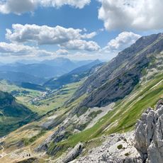
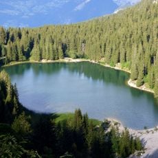
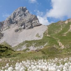
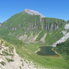
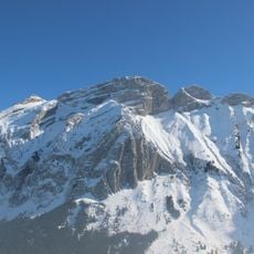
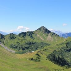
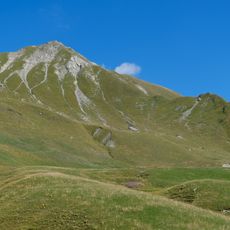
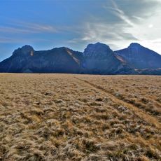
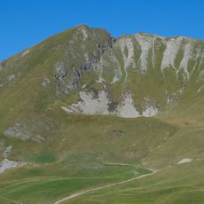
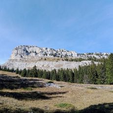
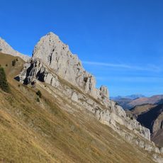
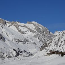
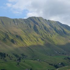
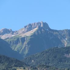
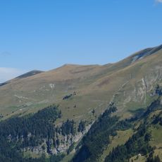
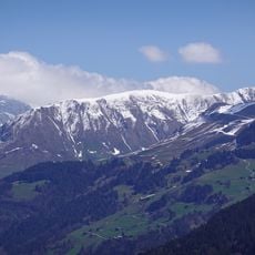
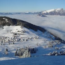
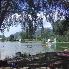
Mont-Saxonnex covers approximately 126.28 square kilometers with elevations ranging from 580 to 2,438 meters above sea level, offering varied mountainous terrain and diverse landscapes suitable for year-round outdoor activities.
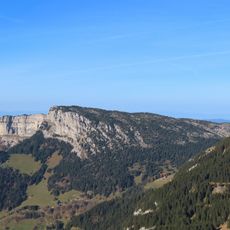
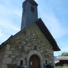
The commune's name derives from Latin and Celtic roots dating back to the 14th century, including the designation Sersenaco, believed to originate from mons saxorum nigrorum meaning mountain of black rocks.
Local legend tells that during the Middle Ages, a fire raged for seven years, turning the rocks black as coal, which contributed to the mysterious naming of this alpine community in the Savoyard region.
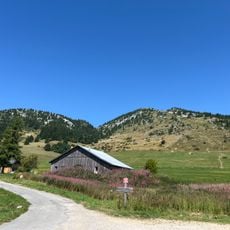
The commune is accessible via regional roads connecting it to nearby towns such as Cluses and Bonneville, with its official website mont-saxonnex.fr providing practical information and event calendars for residents and visitors.
Mont-Saxonnex maintains a watchmaking tradition dating from the 18th century, with local artisans historically producing watch components like pignons and axes that were exported to Geneva-based assemblers throughout the 19th and early 20th centuries.
Location: Haute-Savoie
Location: communauté de communes Cluses-Arve et Montagnes
Location: arrondissement of Bonneville
Elevation above the sea: 1,300 m
Shares border with: Bonneville, Brizon, Marnaz, Le Reposoir, Vougy, Glières-Val-de-Borne, Le Grand-Bornand
Address: 74130 Mont-Saxonnex, France
Phone: +33450969056
Email: mairie@mont-saxonnex.fr
Website: http://mont-saxonnex.fr
GPS coordinates: 46.05444,6.48444
Latest update: September 19, 2025 11:12
Chartreuse du Reposoir
6.8 km
Col de la Colombière
7 km
Lac Bénit
3.3 km
Pointe Blanche
6.5 km
Pointe d'Andey
5.3 km
Pic de Jalouvre
7 km
Grand Bargy
4.4 km
Aiguille Verte
9 km
Rochers de Leschaux
6.6 km
Pointe d'Almet
8.6 km
Pointe de Balafrasse
5.8 km
Pointe de Grande Combe
8.7 km
Église Saint-Maurice de Marignier
4.3 km
Petit Bargy
4.2 km
Le Buclon
8.2 km
Pointe Dzérat
5.6 km
Presbytère du Petit-Bornand-les-Glières
8.9 km
Pointe de Deux Heures
8.2 km
Pointe du Midi
5.4 km
Pointe du Château
9 km
Tête d'Auferrand
7.9 km
Pointe de Nancy
5.8 km
Église Saint-Pierre d'Ayse
5 km
Base Nautique du lac de Motte Longue
5.3 km
Église Saint-Martin de Pontchy
6.2 km
Chapelle de Pincru
702 m
Chapelle Sainte-Renée de Beffay
8 km
Chapelle Notre-Dame-des-Neiges du Vieux-Chinaillon
9.7 kmReviews
Visited this place? Tap the stars to rate it and share your experience / photos with the community! Try now! You can cancel it anytime.
Discover hidden gems everywhere you go!
From secret cafés to breathtaking viewpoints, skip the crowded tourist spots and find places that match your style. Our app makes it easy with voice search, smart filtering, route optimization, and insider tips from travelers worldwide. Download now for the complete mobile experience.
A unique approach to discovering new places❞
— Le Figaro
All the places worth exploring❞
— France Info
A tailor-made excursion in just a few clicks❞
— 20 Minutes