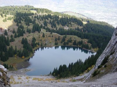
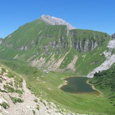
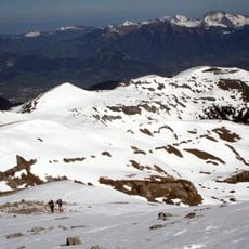
Lac Bénit, Glacial lake in Mont-Saxonnex, France.
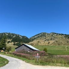
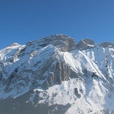
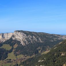
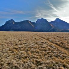
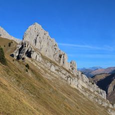
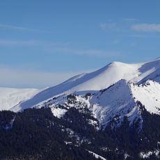
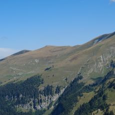
Lac Bénit is a glacial lake in Haute-Savoie positioned at approximately 1450 meters elevation, surrounded by the cliffs of Grand Bargy. The water body stretches several hundred meters in length and owes its formation to glacial activity during the ice age.
The lake was carved out by glacial erosion thousands of years ago, leaving a distinctive basin in the mountain landscape. The area later received protected status as both a Natural Sensitive Space and a Classified Natural Site to safeguard its ecological and geological qualities.
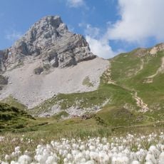
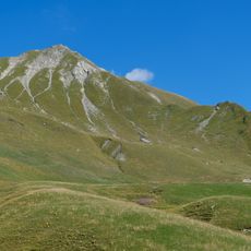
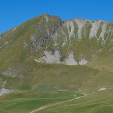
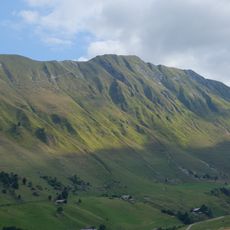
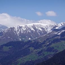
The lake serves as a gathering place for nature watchers who come to observe native species like lammergeiers and alpine ibex in their natural setting. These animals are part of the area's living landscape and draw visitors interested in witnessing alpine wildlife.
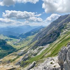
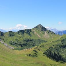
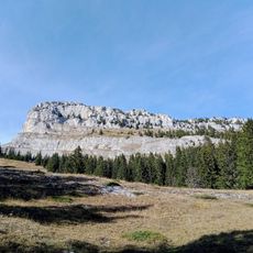
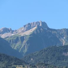
Visitors access the lake via a marked trail starting from the Le Bété parking area, and the hike takes a few hours to complete. Two different routes are available with varying degrees of steepness, allowing hikers to choose based on their fitness level.
The area offers two access routes with notably different gradients that allow hikers to select their path based on personal preference. This flexibility makes the hike appealing to different skill levels and lets visitors reach the same destination in different ways.
The community of curious travelers
AroundUs brings together thousands of curated places, local tips, and hidden gems, enriched daily by 60,000 contributors worldwide.