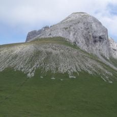
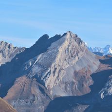
Pointe du Château, Alpine summit in Le Reposoir, France
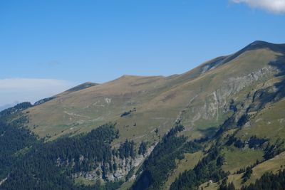
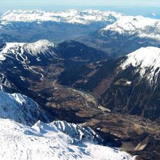
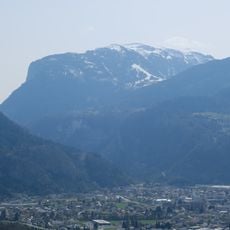
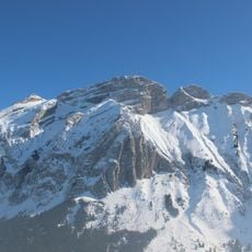
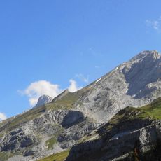
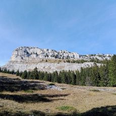
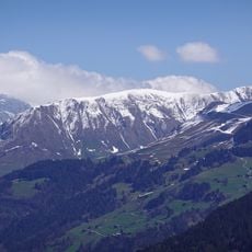
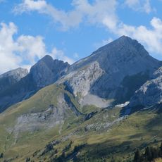
Pointe du Château is a mountain summit at 2,104 meters (6,905 feet) located in the Reposoir massif in the French Alps. The peak sits at the northern terminus of the Aravis range, where views extend across the Arve Valley and surrounding mountain ridges.
This summit marks the northern boundary of the Aravis chain and served as a key reference point for mapping the French Alps. The peak became important to mountaineers and geographers seeking to understand the structure of this alpine region.
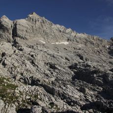
Local mountaineers from Haute-Savoie use this summit as a natural landmark for passing down alpine knowledge through generations of mountain dwellers.
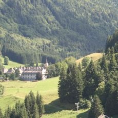
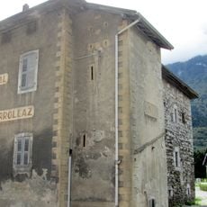
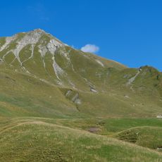
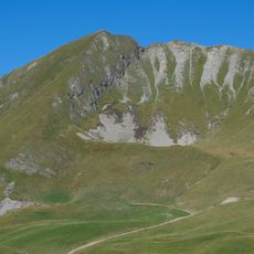
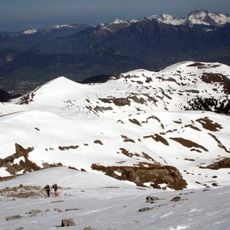
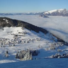
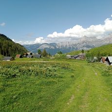
Marked trails connect the peak to the valleys of Le Reposoir and Nancy-sur-Cluses, with climbs requiring good hiking boots and weatherproof clothing. Allow adequate time for the altitude and terrain, as the ascent demands steady pacing and rest breaks.
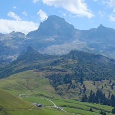
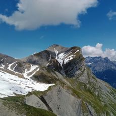
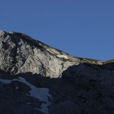
The Gueule a Vent pass sits just south of the summit at 2,014 meters (6,607 feet) and serves as a traditional crossing point on the GR 96 trail. This pass connects the route between Pointe du Château and Tete des Muets, making it a natural rest spot for those crossing the ridge.
The community of curious travelers
AroundUs brings together thousands of curated places, local tips, and hidden gems, enriched daily by 60,000 contributors worldwide.