Enable Location

We need your location to show you interesting places around you

Discover nearby places

Find interesting locations and hidden gems around you

Precise directions

Get accurate directions and distances to places

Your location is never shared with other users. It's only used when you tap the location button.

Pointes longues

Log in to your account

Start exploring — it's free

Trusted by 61,956 travelers worldwide

Continue with Google
Continue with Apple
or

We will send you a code to connect

By continuing, you accept our Terms and Conditions and our Privacy Policy

Check your inbox

We've sent a pincode in your inbox. Please enter the code below.

Pointes longues

Pointes longues, Mountain summit in Le Reposoir and Sallanches, France

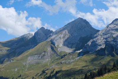
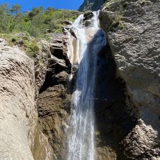
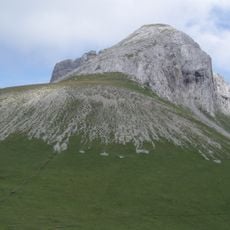
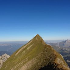
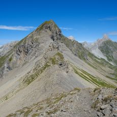
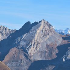
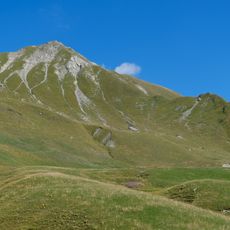
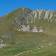
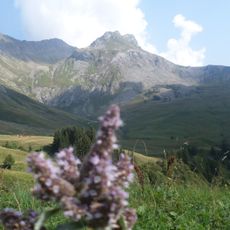
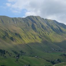
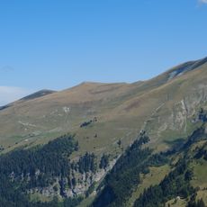
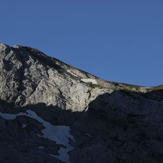
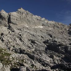
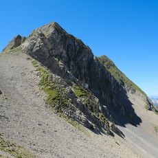
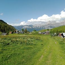
Pointes Longues is a summit reaching 2,451 meters in the Bornes-Aravis range, marked by steep slopes and limestone rock formations along its trails. The routes cross exposed ridges and open Alpine meadows that widen the view with each step higher.

The summit became an established reference point during the 19th century as mountaineers began systematically exploring and mapping the French Alps. Its location made it a key landmark for developing early hiking routes across the region.

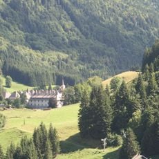
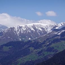
Shepherds work the slopes with traditional herding methods that have defined the Alpine meadows for generations, shaping the landscape you see as you walk higher.

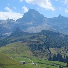
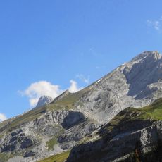
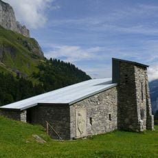
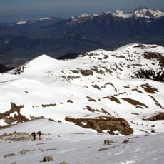
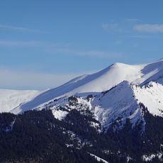
The climb starts from Le Reposoir and takes about four hours on marked paths, with weather and exposure changing along the way. Good hiking boots and layered clothing are essential since conditions shift quickly at this elevation.

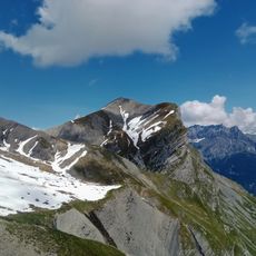
The summit sits where two different microclimates meet, creating a clear division where different plants grow on the north and south slopes. Walking up, you notice this biological boundary shift distinctly as light and temperature change.

The community of curious travelers

AroundUs brings together thousands of curated places, local tips, and hidden gems, enriched daily by 60,000 contributors worldwide.

Start exploring
Location
Location
Elevation above the sea
2,451 m
GPS coordinates
45.97330,6.56719
Latest update
December 14, 2025 20:21
« Pointes longues - Mountain summit in Le Reposoir and Sallanches, France » is provided by Around Us (aroundus.com). Images and texts are derived from Wikimedia project under a Creative Commons license. You are allowed to copy, distribute, and modify copies of this page, under the conditions set by the license, as long as this note is clearly visible.

Discover hidden gems everywhere you go!

From secret cafés to breathtaking viewpoints, skip the crowded tourist spots and find places that match your style. Our app makes it easy with voice search, smart filtering, route optimization, and insider tips from travelers worldwide. Download now for the complete mobile experience.

Around Us App Screenshot

A unique approach to discovering new places

Le Figaro

All the places worth exploring

France Info

A tailor-made excursion in just a few clicks

20 Minutes

Around Us
Travel Guide & Maps
Download

Send to your phone

QR Code
1

Open the camera app on your mobile.

2

Point at the QR code with your camera. A notification will appear.

3

Tap the notification to open the link.