Pointe Percée, Mountain summit in Savoie, France
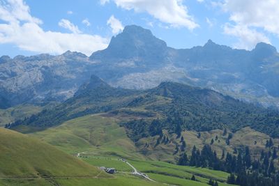
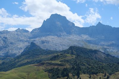
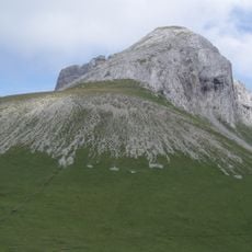
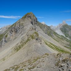
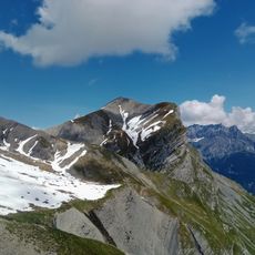
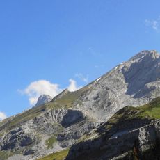
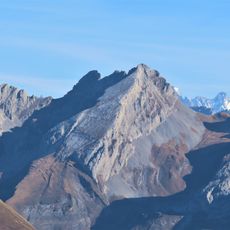
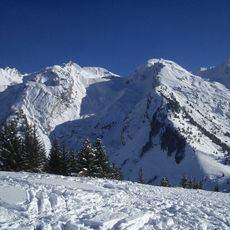
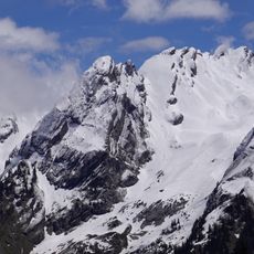
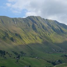
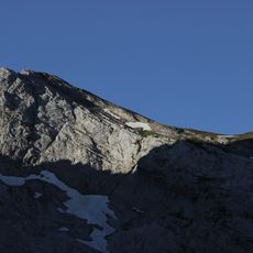
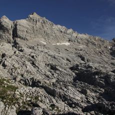
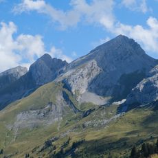
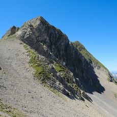
Pointe Percée is a mountain summit in the French Alps composed of sedimentary rock and reaching 2,750 meters in elevation. The rock formations create intricate patterns across its surface, with a natural arch near the peak formed through erosion over centuries.
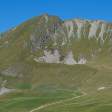
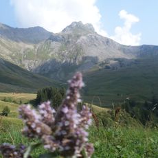
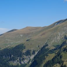
The peak served as a navigation landmark for travelers in medieval times, helping people find their way through the Alpine passes. Over time it became a recognized climbing destination as mountaineering developed in the region.
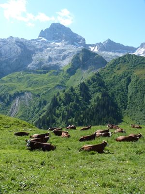
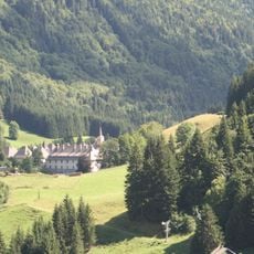
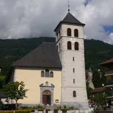
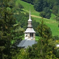
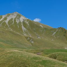
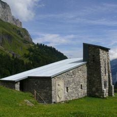
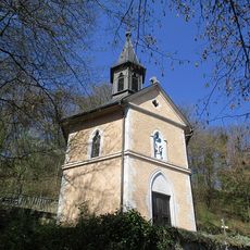
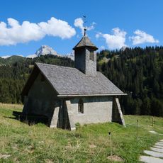
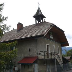
The nearby villages of Sallanches, Le Grand-Bornand, and Le Reposoir remain deeply connected to Alpine traditions and use the mountain landscape as a backdrop to their daily routines. Visitors can see this relationship in local architecture, regional products, and gatherings that celebrate mountain life.
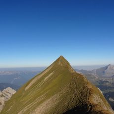
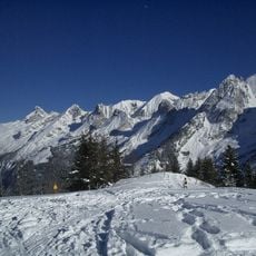
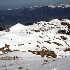
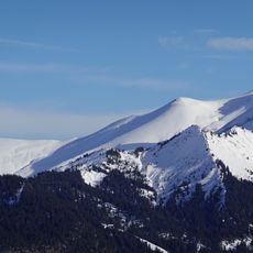
Reaching the summit requires alpine experience and proper equipment, with the best conditions between June and September when snow cover is minimal. Visitors should come prepared for changing weather and bring adequate water and sun protection for the climb.
The mountain's most striking feature is the natural stone arch near the peak, a rare example of erosion patterns in sedimentary rock that has been noticed by visitors and climbers for generations. This rock formation serves as a distinctive landmark visible from several approaches to the summit.
The community of curious travelers
AroundUs brings together thousands of curated places, local tips, and hidden gems, enriched daily by 60,000 contributors worldwide.