Tête Pelouse, Mountain summit in Aravis range, France
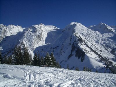
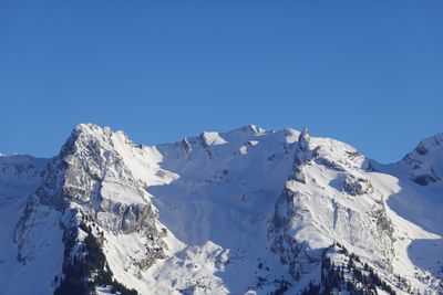
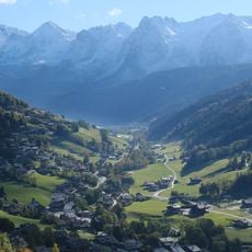
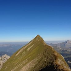
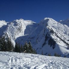
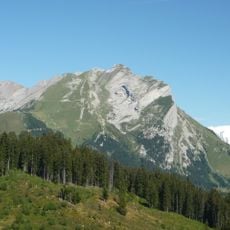
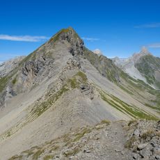
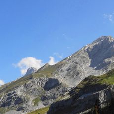
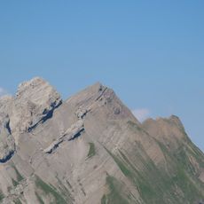
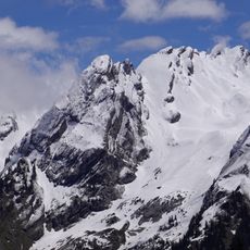
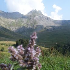
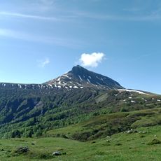
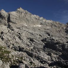
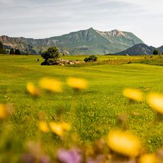
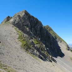
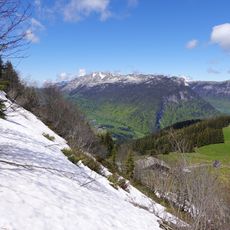
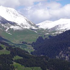
Tête Pelouse is a mountain summit in the Aravis range of the French Alps, rising to 2,537 meters with marked trails crossing alpine meadows to reach the peak. The surrounding terrain consists of open grassland, rocky passages, and views across multiple mountain ridges.
The mountain gained attention in the late 1800s as alpine tourism expanded throughout the French Alps and more trails were developed. It became established as a regular hiking destination for visitors seeking high-altitude walks.
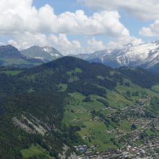
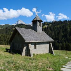
The alpine meadows around the summit are home to shepherding traditions, where grazing livestock shapes the open grassland character of the landscape. Local communities have long relied on these high pastures for seasonal farming.
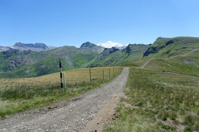
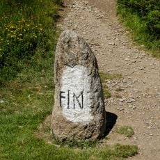
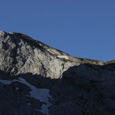
The hike starts from the parking area at Les Confins and takes about three hours to reach the summit via well-marked trails. Sturdy hiking boots are recommended since the route combines grassy slopes with rocky stretches.
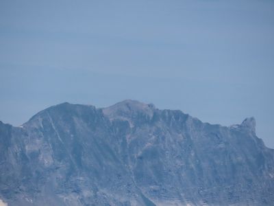
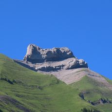
The summit features the Trou de la Mouche, a natural rock arch formation that gives the mountain its distinctive outline. This striking feature is visible from many directions and helps hikers recognize the peak from different vantage points.
The community of curious travelers
AroundUs brings together thousands of curated places, local tips, and hidden gems, enriched daily by 60,000 contributors worldwide.