Tête du Torraz, Summit in La Giettaz and Flumet, France
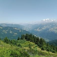
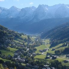
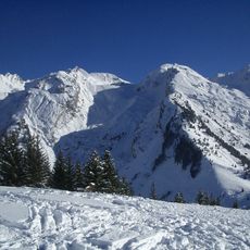
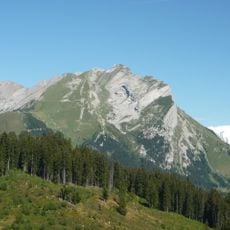
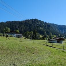
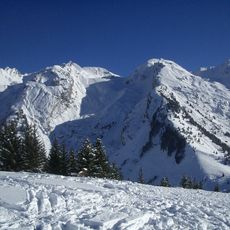
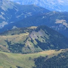
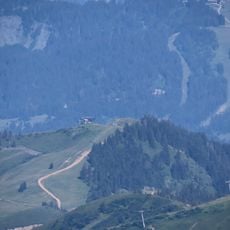
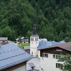
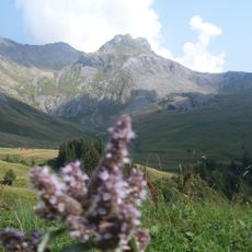
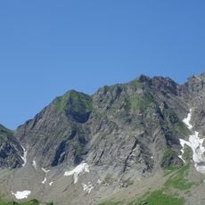
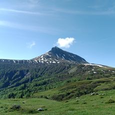
Tête du Torraz is a 1,930-metre mountain in the Aravis range in Savoie. It has a star shape, with ridges running east to the Christomet, north to the hamlet of Le Plan, west to La Giettaz and south to the Signal du Sac and the Gâteau above the Arly valley. A chairlift from La Giettaz reaches the summit, where a mast and small buildings stand on the grassy dome.
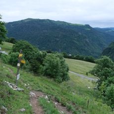
The summit sits along an old trade route where merchants and herders once moved goods between valleys across mountain passes. These ancient paths eventually became the hiking routes used today.
The summit's name comes from the Franco-Provençal term torraz, a rocky or steep place, still used in Savoyard place names. The north flank above La Giettaz carries three ski lifts and a chairlift reaching the top, linking the slopes with Megève and Combloux via the ridge to the Christomet.
The hike is demanding and takes several hours, so start early in the day and bring sturdy boots. Mountain weather changes quickly, so pack a jacket and plenty of water regardless of conditions below.
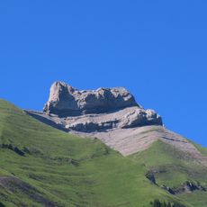
The summit is reached by a chairlift from the La Giettaz ski area, whose three ski lifts and one chairlift run up the northern flank; the ridge eastward connects the summit to the Christomet and on toward Megève and Combloux. The mountain sends out several secondary tops, including the tête du Petit Torraz, the signal du Sac and the Gâteau.
The community of curious travelers
AroundUs brings together thousands of curated places, local tips, and hidden gems, enriched daily by 94,311 contributors worldwide.