Val d'Arly, Alpine valley system in Savoie and Haute-Savoie, France.
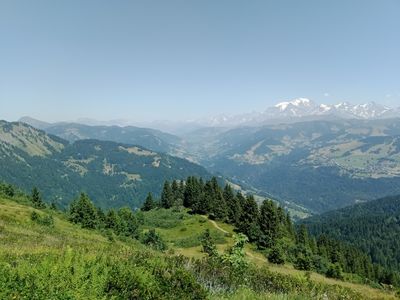
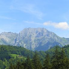
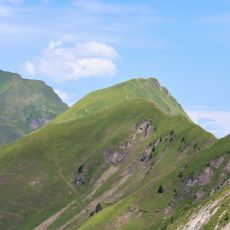
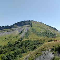
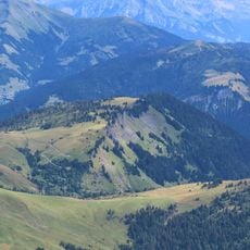
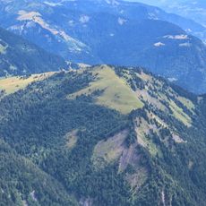
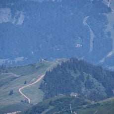
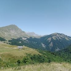
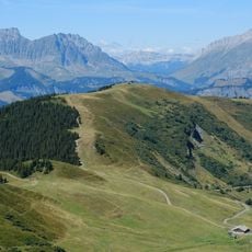
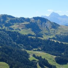
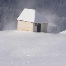
Val d'Arly is an Alpine valley spanning Savoie and Haute-Savoie that sits at about 900 meters elevation with steep walls and a rounded valley floor. This shape resulted from ancient glacial movement that carved through the mountain landscape over thousands of years.
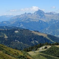
Val d'Arly was shaped thousands of years ago by powerful glacial movements that carved its distinctive U-shaped form. This same geological process created hanging valleys where tributary valleys meet the main valley at different elevations.
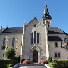
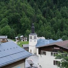
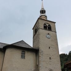
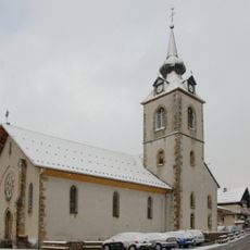
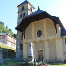
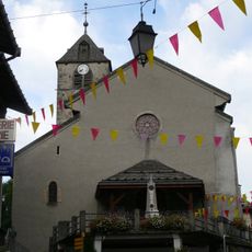
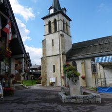
Local residents maintain Alpine traditions through seasonal markets where they sell regional products and handmade items reflecting mountain agriculture and craftsmanship.
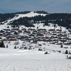
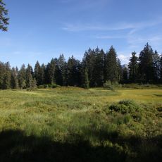
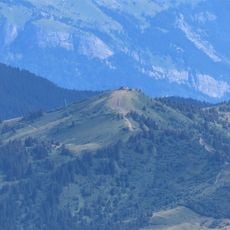
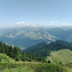
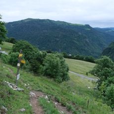
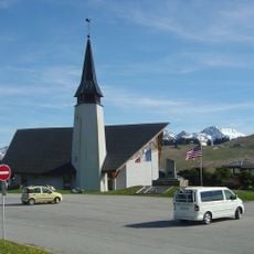
The valley has several entry points and connects to the larger Espace Diamant ski network, offering easy access for winter sports and mountain activities. Visitors should prepare for changing mountain conditions and plan accordingly for outdoor visits.
The valley stands out for its hanging valleys where tributary valleys meet the main valley at strikingly different elevations, revealing how uneven glacial erosion shaped the landscape. These elevation differences make the area geologically distinctive and add to the varied terrain travelers encounter.
Location: Savoie
Location: Haute-Savoie
Elevation above the sea: 900 m
Part of: Sillon alpin
GPS coordinates: 45.81700,6.51700
Latest update: December 10, 2025 20:01
Étale
6.5 km
Chard du Beurre
5.8 km
Mont Rond
4.3 km
Église Sainte-Marie-Madeleine de Praz-sur-Arly
4.8 km
Les Trois Aiguilles
5.9 km
Réserve naturelle régionale de la tourbière des Saisies - Beaufortain - Val d'Arly
4.9 km
Tête du Torraz
5.1 km
Praz Vechin
6.2 km
Croix Cartier
3.5 km
Lachat
3.5 km
Le Treu
4 km
Le Christomet
6.4 km
Église Saint-Pierre-aux-Liens de La Giettaz
5.4 km
Gorges de l'Arrondine
3 km
Merdassiers Nant Pareux
5.2 km
Ban Rouge
5.4 km
Crêt du Midi
5.1 km
Réserve naturelle régionale de la tourbière des Saisies
6.3 km
Église Saint-François-de-Sales de Chaucisse
2.8 km
Église Saint-Nicolas de Saint-Nicolas-la-Chapelle
1.5 km
Église de la Nativité-de-Marie de Notre-Dame-de-Bellecombe
981 m
Église Saint-Sauveur d'Héry-sur-Ugine
6 km
Église Saint-Théodule de Flumet
204 m
Église de la Nativité-de-Notre-Dame de Crest-Voland
2.6 km
Chapelle Sainte-Marie de Crest-Voland
3.1 km
Chapelle du Passieu
3 km
Chapelle Notre-Dame de Haute Lumière
6.6 km
Chapelle Saint-Jean-Baptiste du col des Saisies
5.9 kmVisited this place? Tap the stars to rate it and share your experience / photos with the community! Try now! You can cancel it anytime.
Discover hidden gems everywhere you go!
From secret cafés to breathtaking viewpoints, skip the crowded tourist spots and find places that match your style. Our app makes it easy with voice search, smart filtering, route optimization, and insider tips from travelers worldwide. Download now for the complete mobile experience.
A unique approach to discovering new places❞
— Le Figaro
All the places worth exploring❞
— France Info
A tailor-made excursion in just a few clicks❞
— 20 Minutes