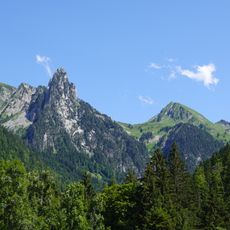
Les Trois Aiguilles, Alpine summit in Manigod and Ugine, France
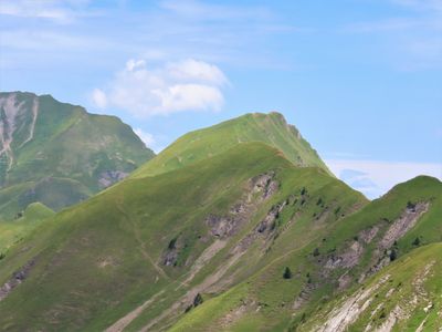
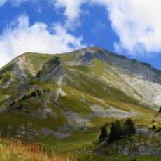
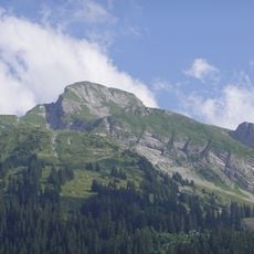
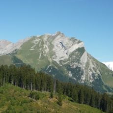
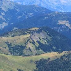
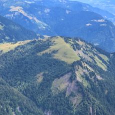
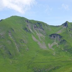
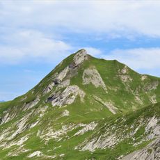
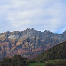
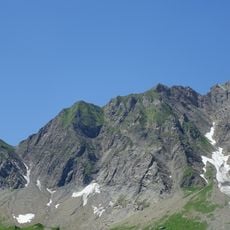
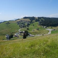
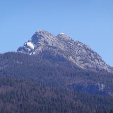
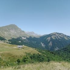
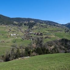
Les Trois Aiguilles is an Alpine summit in the Aravis range that stands at roughly 2,277 meters (7,470 feet) between Mont Charvin and L'Étale. The landscape consists of high meadows and grazing grounds surrounded by rocky ridges and steep valleys.
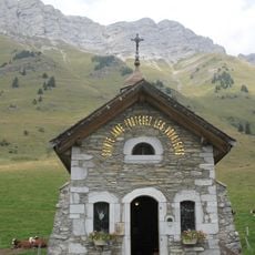
This summit sits at the border between the French departments of Savoie and Haute-Savoie and has served as a geographic reference point for Alpine communities for generations. Its location made it a natural landmark for people living and working in the surrounding regions.
The area around Les Trois Aiguilles serves as summer pastureland where shepherds from nearby valleys bring their livestock to graze. This tradition shapes how the land looks and feels, with herds moving through the high meadows during the warmer months.
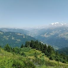
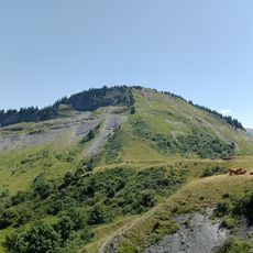
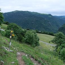
The climb from the Joux parking area in Manigod takes about three hours with an elevation gain of roughly 1,100 meters on marked trails. The route is most accessible during the summer months when the higher paths are free of snow.
The Fier River, a major waterway in the region, originates near this summit and flows down into the valleys below. This mountain water source shapes life in the communities that lie downstream.
The community of curious travelers
AroundUs brings together thousands of curated places, local tips, and hidden gems, enriched daily by 60,000 contributors worldwide.