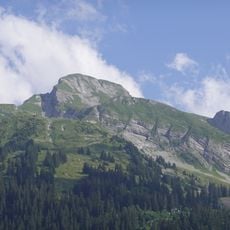
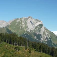
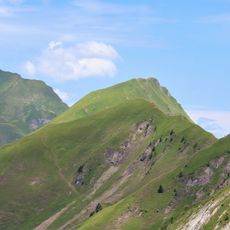
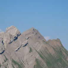
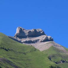
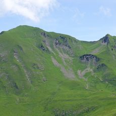
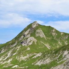
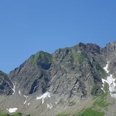
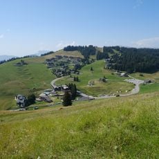
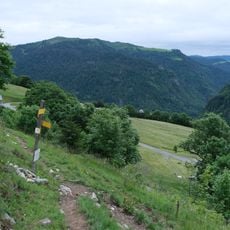
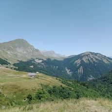
Croix Cartier, Mountain summit in Saint-Nicolas-la-Chapelle, France.
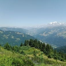
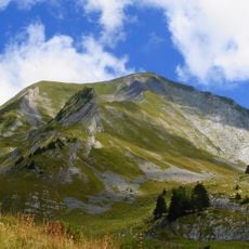
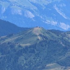
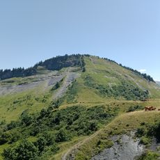
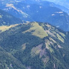
Croix Cartier is a summit in the French Alps at about 1834 meters elevation with a cross marking the peak. From here, you can see the surrounding mountain peaks of Val d'Arly and Mont Blanc.
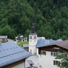
The mountain carries two summit crosses: one at its highest point, 1,834 metres, and the Croix de Stata at the other end of the ridge. The ridge runs about a kilometre from south-west to north-east between the Nant de la Coufa valley and the Arrondine gorges. The village of Chaucisse, in Saint-Nicolas-la-Chapelle, lies at its southern foot.
The mountain has two summit crosses: one at its highest point, 1,834 m, and the Croix de Stata at the other end of the ridge. The ridge runs about a kilometre southwest to northeast, with the village of Chaucisse at its southern foot in the commune of Saint-Nicolas-la-Chapelle.
The mountain lies between the Nant de la Coufa valley to the north and the Chaucisse valley to the south, with the Arrondine gorges to the east; the villages of Chaucisse and Flumet sit at its foot. The ridge runs about one kilometre southwest to northeast, and the summit cross stands at 1,834 metres. The Croix de Stata marks the opposite end of the mountain.
Croix Cartier carries two summit crosses: one at its 1,834 m highest point and the Croix de Stata at the mountain's other end, about a kilometre away along the ridge. The ridge runs southwest to northeast, bounded by the Nant de la Coufa valley, the Arrondine gorges, the Chaucisse valley and a small unnamed col.
The community of curious travelers
AroundUs brings together thousands of curated places, local tips, and hidden gems, enriched daily by 94,651 contributors worldwide.