Enable Location

We need your location to show you interesting places around you

Discover nearby places

Find interesting locations and hidden gems around you

Precise directions

Get accurate directions and distances to places

Your location is never shared with other users. It's only used when you tap the location button.

Pointe de Merdassier

Log in to your account

Start exploring — it's free

Trusted by 61,938 travelers worldwide

Continue with Google
Continue with Apple
or

We will send you a code to connect

By continuing, you accept our Terms and Conditions and our Privacy Policy

Check your inbox

We've sent a pincode in your inbox. Please enter the code below.

Pointe de Merdassier

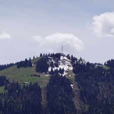
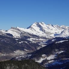
Pointe de Merdassier, Mountain summit in Haute-Savoie, France.

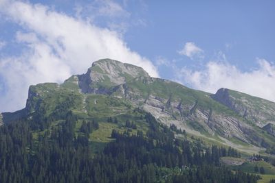
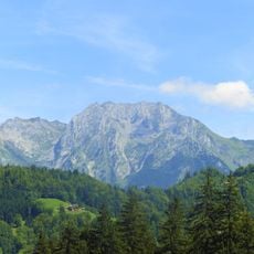
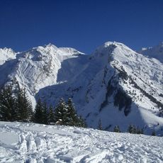
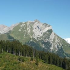
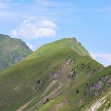
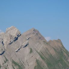
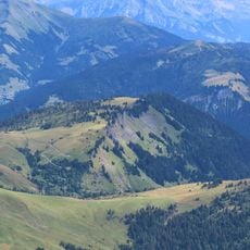
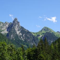
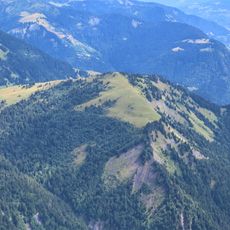
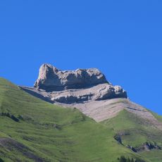
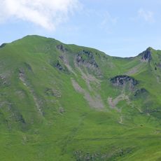
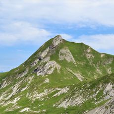
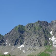
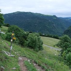
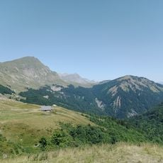
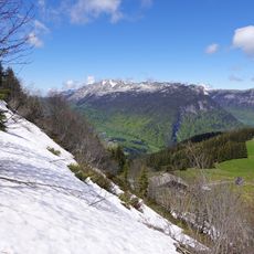
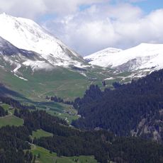
Pointe de Merdassier is a mountain summit in the Aravis range at 2313 meters elevation. Its slopes feature sedimentary rock formations with steep, rugged structures and extremely challenging gradients.

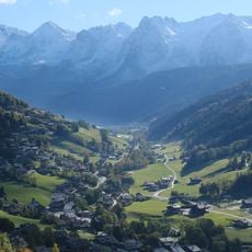
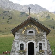
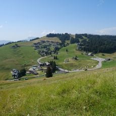
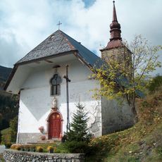
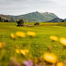
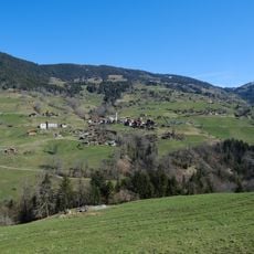
The name Merdassier comes from an alpine pasture below La Clusaz, referring to a muddy area that shepherds used with their herds. This meaning reflects the long history of pastoralism in this mountain region.

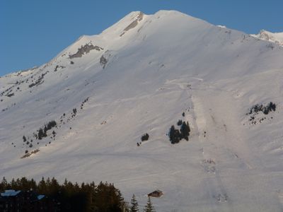
The site is a popular training ground for skyrunners and fell runners who test their abilities on extreme slopes. The rugged mountain landscape attracts athletes year-round seeking this particular challenge.

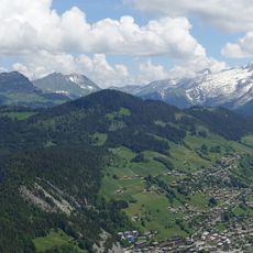
The main access to the summit starts from Étale hamlet, about 500 meters past Col de Merdassier, with parking available at the junction. Visitors should expect demanding conditions and steep routes requiring proper mountain gear.

Some sections of the route reach gradients of 52%, making it one of the most demanding mountain routes in the area. These extreme slopes regularly attract international competitors testing their limits.

The community of curious travelers

AroundUs brings together thousands of curated places, local tips, and hidden gems, enriched daily by 60,000 contributors worldwide.

Start exploring
Location
Location
Elevation above the sea
2,313 m
Made from material
sedimentary rock
GPS coordinates
45.86496,6.44334
Latest update
December 14, 2025 20:04
« Pointe de Merdassier - Mountain summit in Haute-Savoie, France » is provided by Around Us (aroundus.com). Images and texts are derived from Wikimedia project under a Creative Commons license. You are allowed to copy, distribute, and modify copies of this page, under the conditions set by the license, as long as this note is clearly visible.

Discover hidden gems everywhere you go!

From secret cafés to breathtaking viewpoints, skip the crowded tourist spots and find places that match your style. Our app makes it easy with voice search, smart filtering, route optimization, and insider tips from travelers worldwide. Download now for the complete mobile experience.

Around Us App Screenshot

A unique approach to discovering new places

Le Figaro

All the places worth exploring

France Info

A tailor-made excursion in just a few clicks

20 Minutes

Around Us
Travel Guide & Maps
Download

Send to your phone

QR Code
1

Open the camera app on your mobile.

2

Point at the QR code with your camera. A notification will appear.

3

Tap the notification to open the link.